
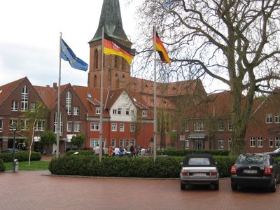
Steinfeld, municipality in Vechta district, Lower Saxony, Germany
Location: Vechta
Elevation above the sea: 47 m
Shares border with: Diepholz, Damme
Website: https://steinfeld.de
GPS coordinates: 52.58712,8.21736
Latest update: March 3, 2025 08:25
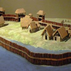
Neolithic settlement Hunte 1
9.7 km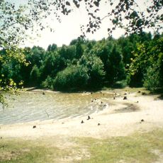
Dammer Bergsee
5.5 km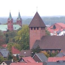
St. Gertrud
8.8 km
Wasserburg Hopen
7.8 km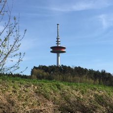
Signalberg
3.8 km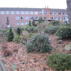
Damme Priory
7 km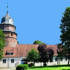
Schloss Diepholz
10.6 km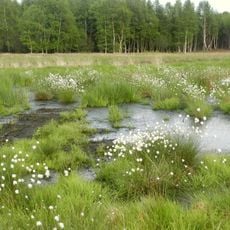
Diepholzer Moor
7.2 kmIndustriemuseum Lohne
8.8 km
Freilichtbühne Lohne
8.4 km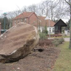
Alter Schwede, Kroge
4.6 km
Burgwald Dinklage
8.7 km
St. Peter und Paul
6.3 km
St. Nicolaikirche
10.6 km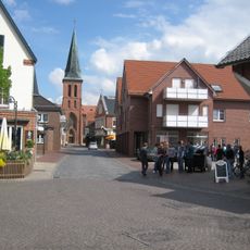
St. Johannes Baptist
34 m
Haus Uptmoor
8.8 km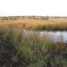
Südlohner Moor
7.5 km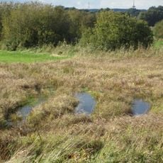
Westliche Dümmerniederung
8.7 km
St. Bonaventura
3.5 km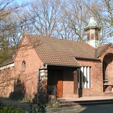
St. Anna Klus
6.5 km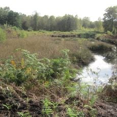
Steinfelder Moor
5.7 km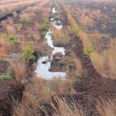
Aschener Moor/Heeder Moor
10.7 km
Huntebruch und Huntebruchwiesen
9.6 km
Villa Trenkamp und Bohmann
8.5 km
St. Michaelis
10 km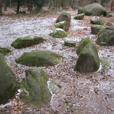
Steingrab Damme Stappenberg
3 km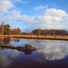
Diepholzer Moor
7 km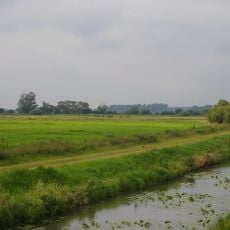
Huntebruch
9.5 kmVisited this place? Tap the stars to rate it and share your experience / photos with the community! Try now! You can cancel it anytime.
Discover hidden gems everywhere you go!
From secret cafés to breathtaking viewpoints, skip the crowded tourist spots and find places that match your style. Our app makes it easy with voice search, smart filtering, route optimization, and insider tips from travelers worldwide. Download now for the complete mobile experience.

A unique approach to discovering new places❞
— Le Figaro
All the places worth exploring❞
— France Info
A tailor-made excursion in just a few clicks❞
— 20 Minutes