
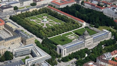
Hofgarten, Renaissance park in Münchner Altstadt, Germany
Hofgarten is a Renaissance park in central Munich positioned between the Residenz palace and the Englischer Garten, featuring symmetrical pathways and a central pavilion dedicated to Diana. Rectangular lawns and regularly spaced trees form geometric patterns that are framed by colonnaded arcades.
The garden was created between 1613 and 1617 under Maximilian I of Bavaria, blending Italian Renaissance design principles with local architecture. Over centuries it transformed into public parkland and now holds a memorial to the White Rose, a resistance group that opposed Nazi rule.
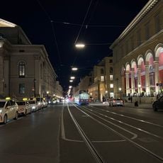
The garden takes its name from the prince's pleasure grounds and functions as a meeting place where locals walk and rest throughout the day. The arcades display historical wall paintings showing scenes from Bavaria, giving the space its distinctive character.
The park can be reached from several directions, with Odeonsplatz U-Bahn station on the western side serving as the main access point. The pathways are level and easy to walk, making it suitable for a relaxed visit in any season.
Eight stone paths radiate outward from the central Diana Temple, creating a star-shaped pattern most visible from above. Regular dance performances beneath the dome animate the geometric design concept of the space.
Location: Munich
Inception: 1613
Official opening: 1613
Architectural style: Renaissance architecture
Elevation above the sea: 520 m
Address: Dianatempel,Franz-Josef-Strauß-Ring 1,Hofgarten
Website: http://muenchen.de/sehenswuerdigkeiten/orte/120231.html
GPS coordinates: 48.14278,11.58000
Latest update: December 7, 2025 19:30
Maximilianstraße
676 m
Wilhelmsgymnasium
824 m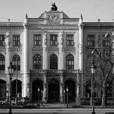
Museum Five Continents
715 m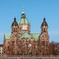
St. Lukas
1 km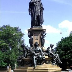
Maxmonument
834 m
Alpine Museum
1.1 km
Kabelsteg in München
1.2 km
Wehrsteg
1.1 km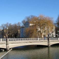
Marianne Bridge
1.1 km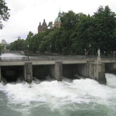
Praterwehrbrücke
994 m
Thierschstraße 27 (München)
954 m
Steinsdorfstraße
1 km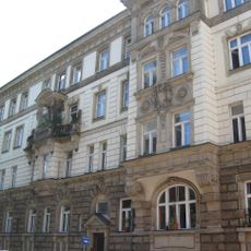
Mariannenplatz 4
1 km
Isarauen (mit ausführlicher Beschreibung der Schutzgebietsflächen zwischen der Stadtgrenze Oberföhring und dem St.-Quirin-Platz)
1.1 km
Denkmal Maximilianstraße in München
676 m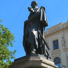
Denkmal Maximilianstraße in München
702 m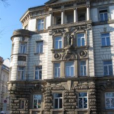
Mietshaus
1.1 km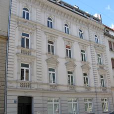
Mietshaus
1.1 km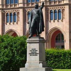
Denkmal Maximilianstraße in München
687 m
Mauer Thierschstraße 46 in München
884 m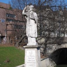
Nepomuk-Statue
987 m
Wohnhaus
772 m
Mietshaus
985 m
Mietshaus
829 m
Mietshaus
960 m
Mietshaus
917 m
Mietshaus
1 km
Mietshaus
961 mVisited this place? Tap the stars to rate it and share your experience / photos with the community! Try now! You can cancel it anytime.
Discover hidden gems everywhere you go!
From secret cafés to breathtaking viewpoints, skip the crowded tourist spots and find places that match your style. Our app makes it easy with voice search, smart filtering, route optimization, and insider tips from travelers worldwide. Download now for the complete mobile experience.

A unique approach to discovering new places❞
— Le Figaro
All the places worth exploring❞
— France Info
A tailor-made excursion in just a few clicks❞
— 20 Minutes