
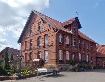
Pohle, municipality in Germany
Location: Schaumburg
Location: Rodenberg
Elevation above the sea: 101 m
Shares border with: Auetal, Apelern
Website: https://rodenberg.de/pohle
GPS coordinates: 52.26389,9.34000
Latest update: March 5, 2025 00:25
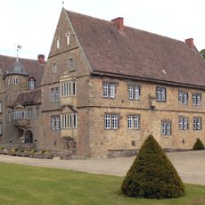
Hülsede Water Castle
2.2 km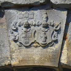
Gut von Hammerstein
3.1 km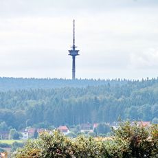
Fernmeldeturm Barsinghausen
5.9 km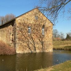
Schloss Rodenberg
5.7 km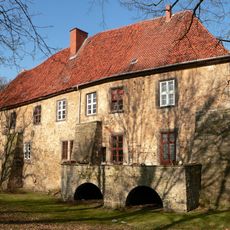
Schloss Lauenau
2 km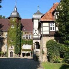
Schloss Schwedesdorf
2.2 km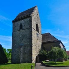
St. Eligius Kirche
5.1 km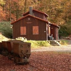
Feggendorfer Stollen
5.7 km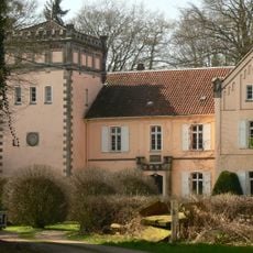
Schloss Meysenbug
2 km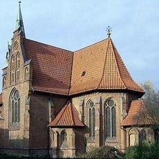
St.-Lukas-Kirche
2.2 km
Deutsches Stuhlmuseum Eimbeckhausen
5.7 km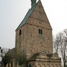
Kirche Apelern
2.8 km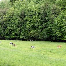
Walterbachtal
5.4 km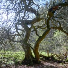
Naturdenkmal Süntelbuche im Bleeksgrund
3.2 km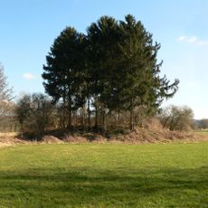
Burghügel bei Messenkamp
2.9 km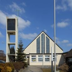
Mariä Himmelfahrt (Rodenberg)
5.7 km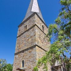
St. Magnuskirche
5.2 km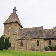
St.Ägidien-Kirche
2.1 km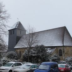
St. Jacobi (Rodenberg)
5.7 km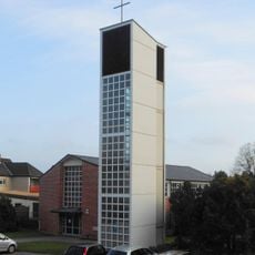
St. Markus (Lauenau)
2.5 km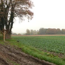
Posteburg
4.2 km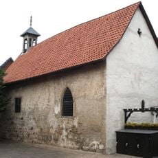
St.-Georgs-Kapelle
2.8 km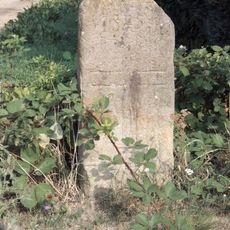
Schwurstein
2.4 km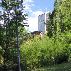
St. Godehard
5.8 km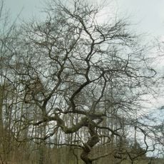
Süntel (Landkreis Schaumburg)
2.7 km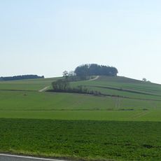
Alter Rodenberg/Altebusch
5.9 km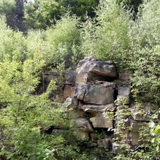
Süd-Deister (Landkreis Schaumburg)
5.2 km
Süntel, Wesergebirge, Deister
5.6 kmReviews
Visited this place? Tap the stars to rate it and share your experience / photos with the community! Try now! You can cancel it anytime.
Discover hidden gems everywhere you go!
From secret cafés to breathtaking viewpoints, skip the crowded tourist spots and find places that match your style. Our app makes it easy with voice search, smart filtering, route optimization, and insider tips from travelers worldwide. Download now for the complete mobile experience.

A unique approach to discovering new places❞
— Le Figaro
All the places worth exploring❞
— France Info
A tailor-made excursion in just a few clicks❞
— 20 Minutes