
Gerbach, municipality of Germany
Location: Donnersbergkreis
Elevation above the sea: 257 m
Website: http://www.rockenhausen.de
Website: http://rockenhausen.de
GPS coordinates: 49.67361,7.87056
Latest update: May 12, 2025 13:17

Donnersberg
6.2 km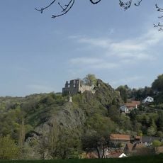
Falkenstein Castle
7.2 km
Sender Donnersberg
6.8 km
Königsstuhl (Donnersberg)
6.2 km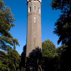
Ludwigs tower
6.8 km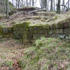
Hohenfels Castle
8.1 km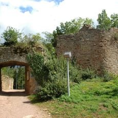
Landsberg Castle
8.7 km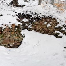
Tannenfels Castle
7 km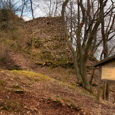
Wildenstein Castle (Palatinate)
7.7 km
Kappelberg
9 km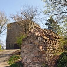
Burg Ruppertsecken
3.2 km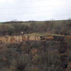
Burg Randeck
6.1 km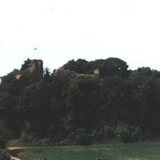
Moschel mountain
8.7 km
Prämonstratenserabtei Rothenkirchen
7 km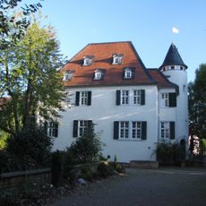
Ruhenburg
6.1 km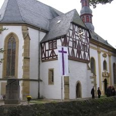
Klosterkirche Münsterappel
6.9 km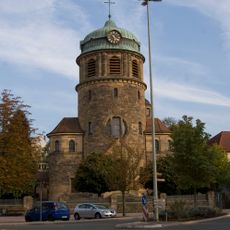
St. Sebastian
5.9 km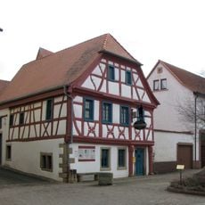
Palatine Stonemason Museum
6.9 km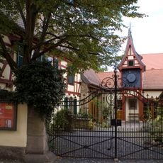
Museum für Zeit – Pfälzisches Turmuhrenmuseum
6.1 km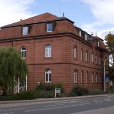
Amtsgericht Rockenhausen
5.8 km
Steinbühl-Schäfergraben
9.2 km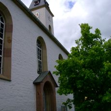
Protestantische Kirche
5.2 km
Menhir von Alsenz
7.1 km
Jüdischer Friedhof
8.8 km
Synagoge
6.9 km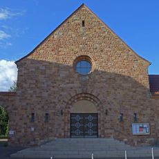
St. Matthäus
5.3 km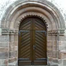
Protestantische Kirche (Orbis)
9.3 km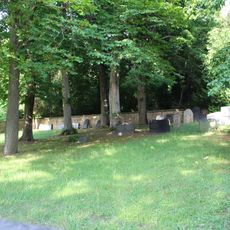
Jüdischer Friedhof
6.7 kmReviews
Visited this place? Tap the stars to rate it and share your experience / photos with the community! Try now! You can cancel it anytime.
Discover hidden gems everywhere you go!
From secret cafés to breathtaking viewpoints, skip the crowded tourist spots and find places that match your style. Our app makes it easy with voice search, smart filtering, route optimization, and insider tips from travelers worldwide. Download now for the complete mobile experience.

A unique approach to discovering new places❞
— Le Figaro
All the places worth exploring❞
— France Info
A tailor-made excursion in just a few clicks❞
— 20 Minutes