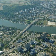
Winningen, municipality in western Germany
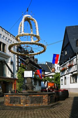
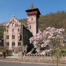
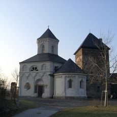
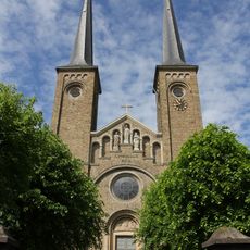
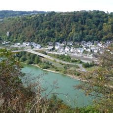
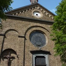
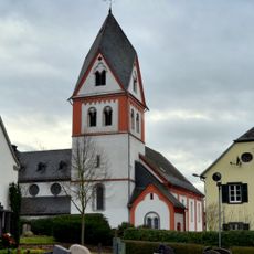
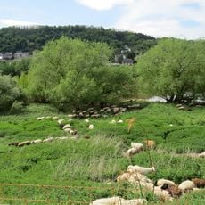
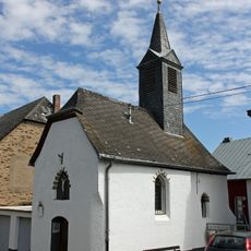
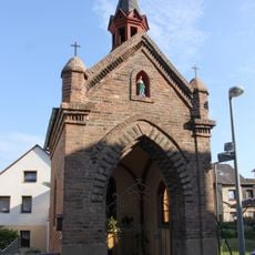
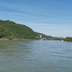
Winningen is a small municipality along the Mosel River in Rhineland-Palatinate, Germany. The village features narrow stone alleys, half-timbered houses, and terraced vineyards that climb steeply up the surrounding hillsides.
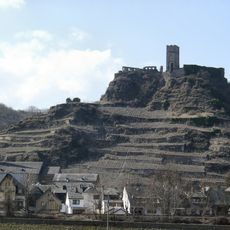
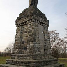
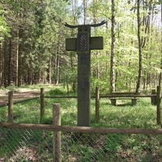
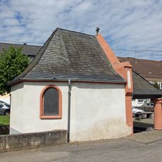
Winningen was first documented around 871 AD, though Romans farmed and produced wine in this area as early as the 4th century. The village endured witch trials in the 17th century, marked today by a memorial stone on a nearby hill.
Winningen hosts festivals and events that bring the community together throughout the year. Wine tasting and local celebrations reveal how deeply winemaking traditions shape daily life here.
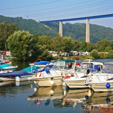
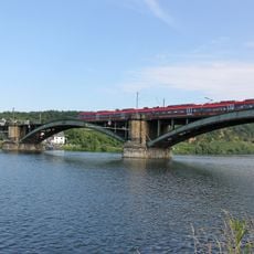
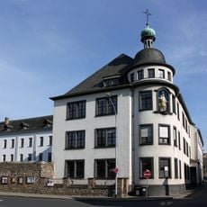
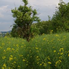
Winningen is accessible by car, train, or boat and sits near good transport links. Local walking trails through the vineyards offer views and rest stops, while tourism information at the town hall helps plan your visit.
A local legend tells of a man named Pfeifenhannes who tried to catch a witch stealing his wine one night but found his own wife instead. This humorous story survives in local memory and shows how the town blends its dark past with everyday folk tales.
The community of curious travelers
AroundUs brings together thousands of curated places, local tips, and hidden gems, enriched daily by 60,000 contributors worldwide.