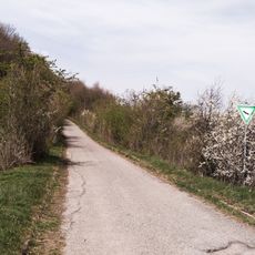
Solitude-Allee, gerader Weg als Basislinie der Württembergischen Landesvermessung
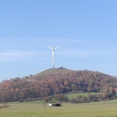
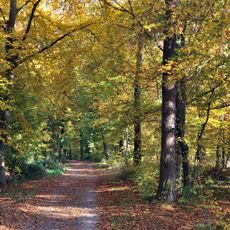
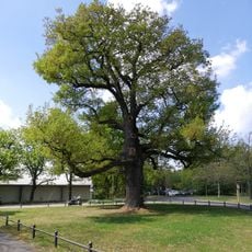
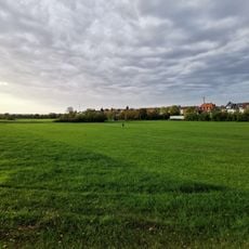
Solitude-Allee is a trail of about 13 kilometers (8 miles) in Stuttgart that runs between Schloss Solitude and Ludwigsburg, passing through wooded sections, open meadows, and rolling terrain. Rest benches are placed at regular intervals along the route, which alternates between shaded tree-lined stretches and more open ground.
The path was laid out in 1768 to link Schloss Solitude with Ludwigsburg for the ruling family of Württemberg. Around 1820, it took on a second role when King Wilhelm I had it used as a baseline for surveying and mapping the kingdom.
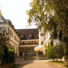
The trail takes its name from Schloss Solitude, the palace that anchors its western end and draws many walkers toward it. On weekends, the path fills with locals who come to walk, run, or cycle through the trees and open stretches between Stuttgart and Ludwigsburg.
The trail is open to walkers, cyclists, and joggers and can be approached from either end without special preparation. Shops and cafes along the way are sparse, so it is a good idea to bring water and a snack before setting out.
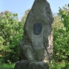
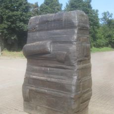
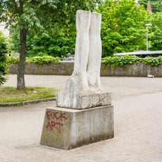
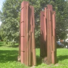
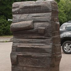
In the early 1800s, surveyors drove stone markers into the ground along this path to use it as a baseline for mapping Württemberg, and a small stone pyramid near Ludwigsburg still marks one of the original measurement points. A nearby park known as the Garden of Triangulation displays stone markers and scale models that show how the land was measured at the time.
The community of curious travelers
AroundUs brings together thousands of curated places, local tips, and hidden gems, enriched daily by 60,000 contributors worldwide.