
Bindfelde, human settlement in Germany
Location: Stendal
Elevation above the sea: 35 m
GPS coordinates: 52.59000,11.90360
Latest update: March 12, 2025 12:56
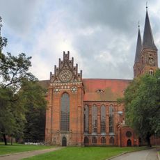
St. Nicolas Church
3.1 km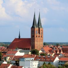
St. Mary church
3.4 km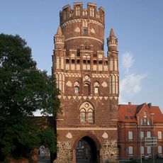
Uenglinger Tor
4 km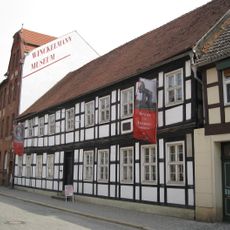
Winckelmann Museum
3.9 km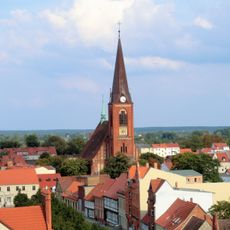
St. Jacobi
3.7 km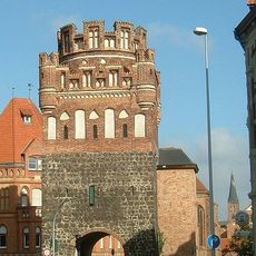
Tangermünder Tor
2.9 km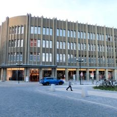
Kaufhaus Ramelow
3.4 km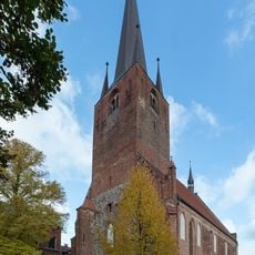
Petrikirche
3.8 km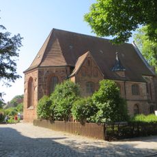
St. Anna
3.6 km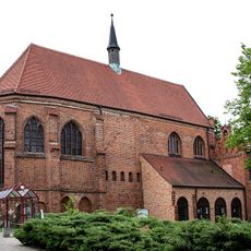
St. Katharinen
3 km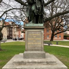
Winckelmann-Denkmal
3.4 km
Röxer Tunnel
3.3 km
Hotel Schwarzer Adler
3.5 km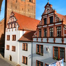
Town hall in Stendal
3.4 km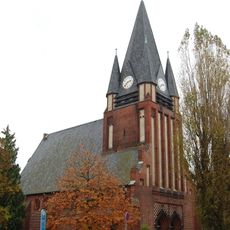
Lutherkirche
4.2 km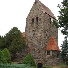
Protestant Church Staffelde
3.9 km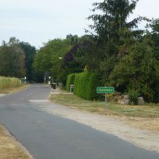
Charlottenhof (Stendal)
1.4 km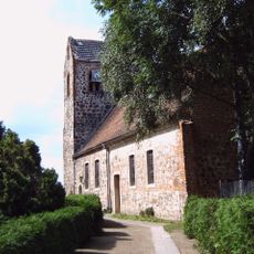
Protestant Church Miltern
4 km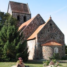
Protestant Church Langensalzwedel
2.7 km
Protestant Church Bindfelde
262 m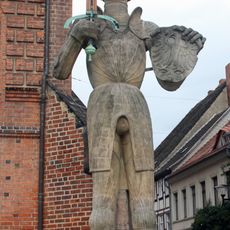
Roland statue of Stendal
3.4 km
Alte Dorfkirche Röxe
4.4 km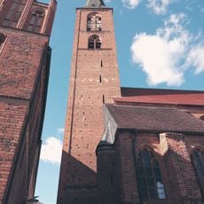
Maria (Glocke)
3.4 km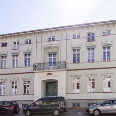
Breite Straße 59
3.5 km
Weidling-Mühle
3 km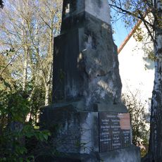
Kriegerdenkmal Miltern
4.1 km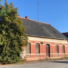
Haferbreite 2
3.2 km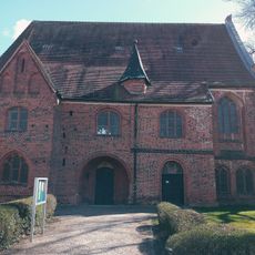
Terziarinnenkloster St. Annen, Stendal
3.6 kmVisited this place? Tap the stars to rate it and share your experience / photos with the community! Try now! You can cancel it anytime.
Discover hidden gems everywhere you go!
From secret cafés to breathtaking viewpoints, skip the crowded tourist spots and find places that match your style. Our app makes it easy with voice search, smart filtering, route optimization, and insider tips from travelers worldwide. Download now for the complete mobile experience.

A unique approach to discovering new places❞
— Le Figaro
All the places worth exploring❞
— France Info
A tailor-made excursion in just a few clicks❞
— 20 Minutes