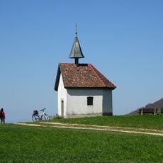
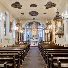
Schönberg, Mountain summit in Ebringen, Germany
Schönberg is a 644.2 m high mountain on the southern edge of Freiburg im Breisgau, the Hausberg of Ebringen; its summit belongs to Ebringen, while its slopes reach into Schallstadt, Merzhausen, Au, Wittnau, Sölden and Sankt Georgen. It is the highest point of the Markgräfler Hügelland and, with the Hohfirst and the Ölberg, forms the Schönberg massif. The eastern slope drops steeply to the Hexental, and the western slope lies under thick loess; a 100 m basalt dyke runs along the southeast slope west of the former clay pit.
On 3 August 1644 the western slope, the Bohl, was the site of the first day of the Battle of Freiburg in the Thirty Years' War. French troops took the Bohl with about 1,100 dead, while Bavarian forces withdrew over the Schönberg to the Lorettoberg and held Freiburg. A memorial cross above Ebringen commemorates the battle.
The name Schönberg replaced the Alemannic "Schinberg" in official use between 1700 and 1900, a mistranscription of a dialect word meaning "visible from afar" or referring to the mountain's flattened shape, unrelated to "schön" (pretty). A memorial cross above Ebringen and Leutenberg commemorates the battle fought on the western slope on 3 August 1644.
Marked trails start from Ebringen and Schallstadt, giving visitors a choice of routes to the top depending on their pace and preference. The walk is suitable for most people in good physical condition, and the views are at their best on days without haze.
The summit plateau once held a Neolithic settlement; today it carries a 58 m steel lattice radio mast built for the SWR at the end of 2012 beside the older concrete tower, which has since been demolished. A memorial cross above Ebringen and Leutenberg marks the fighting of 3 August 1644.
The community of curious travelers
AroundUs brings together thousands of curated places, local tips, and hidden gems, enriched daily by 93,871 contributors worldwide.