Schwäbisches Donaumoos, Wetland ecosystem in Bavaria, Germany
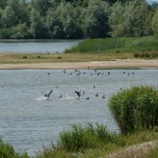
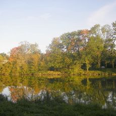
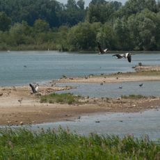
Schwäbisches Donaumoos is a wetland in Bavaria that stretches across gentle, open landscapes marked by grasses, water surfaces, and river channels. The area consists of several connected zones with different habitats for plants and animals.
In the 19th century, sections of the winding Danube River were straightened, with the river engineering continuing until 1871 toward Passau. This reshaping of the river's course fundamentally changed the landscape's appearance.
The name Donaumoos refers to the fen along the Danube; the western section is called Schwäbisches Donaumoos. Peat was cut here until after the Second World War, by machine from 1900 in the Baden-Württemberg part. Since about 1990, funds have gone into rewetting the remaining fen, and three nature reserves are managed as refuges for threatened species.
The Schwäbische Donaumoos lies between Langenau, Sontheim and Gundelfingen, with the Danube and its floodplain forest on the southern edge and the Schwäbische Alb to the north. The open ried is sparsely settled, so plan routes between the villages on its rim. The core moor survives only in three nature reserves, where paths may be wet; access is on foot.
The peat layer that allowed the moor to form is in places only a few centimetres thick, a largely impermeable cover of clay and loam over Danube gravel. Geologist Wilhelm Schloz published a north-south geological section from Asselfingen via the Danube to Günzburg in 1979, based on a series of boreholes.
The community of curious travelers
AroundUs brings together thousands of curated places, local tips, and hidden gems, enriched daily by 94,226 contributors worldwide.