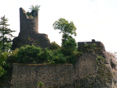
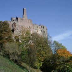
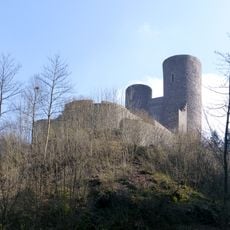
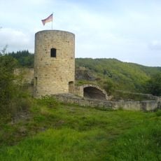
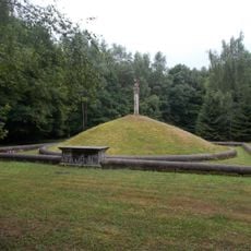
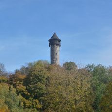
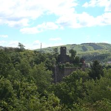
Burg Bosselstein, 12th-century castle ruins in Idar-Oberstein, Germany
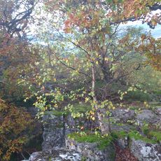
Burg Bosselstein is a 12th-century castle ruin located on a rocky ridge above Idar-Oberstein. The remains include foundations of a round tower, sections of palace walls, and parts of the surrounding defensive wall that once enclosed the entire fortress.
First documented in 1197, the castle was built by the Lords of Stein who controlled this strategic ridge location. The fortress remained inhabited until around 1600, after which it gradually deteriorated into the ruins visible today.
The ruins reflect the medieval way nobles built fortifications to control the region and protect their lands. Walking through the remains, you can sense how daily life unfolded within these defensive structures.
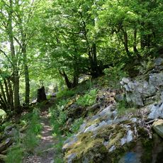
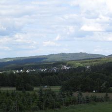
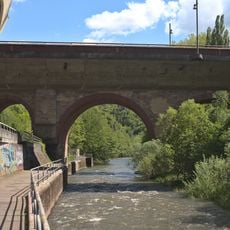
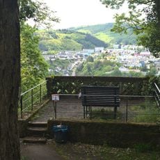
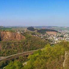
Visitors approach the site by a steep footpath from the B41 road that leads toward Idar-Oberstein. The climb requires some effort, but once at the top you have clear views across the surrounding landscape and down to the church below.
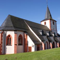
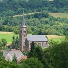
The fortress sits directly above the Felsenkirche, a chapel carved into the living rock, creating an unusual vertical pairing of two structures. This arrangement shows how religious and secular authority occupied the same physical space in medieval times.
The community of curious travelers
AroundUs brings together thousands of curated places, local tips, and hidden gems, enriched daily by 60,000 contributors worldwide.