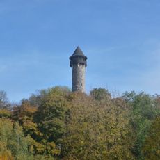
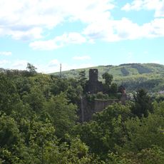
Wildenburger Kopf, Mountain summit in Rhineland-Palatinate, Germany
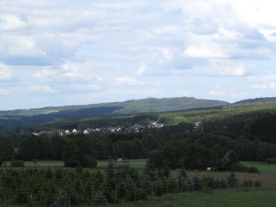
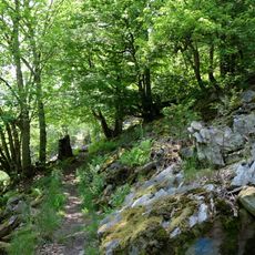
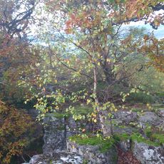
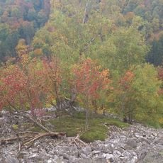
Wildenburger Kopf is a summit in the Rheinisches Schiefergebirge mountain range, rising around 670 meters and covered mostly by dense forest. The peak features natural stone formations that break through the woodland, creating varied views as you move through the terrain.
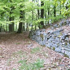
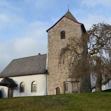
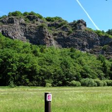
The mountain sits within the Hunsrück region, an area shaped by centuries of slate mining that left its mark on the local landscape. The geological layers beneath the soil reflect this mining heritage and the ways communities once worked the land.
Local communities organize seasonal hiking events around Wildenburger Kopf, connecting residents with traditional forestry practices and regional outdoor activities.
Several marked hiking trails start from different points and lead to the summit, with parking areas available near the forest entrance. The paths are well-marked throughout the year and suitable for hikers of different fitness levels.
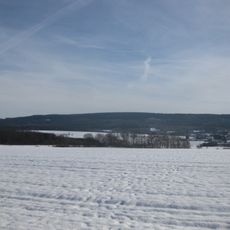
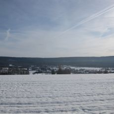
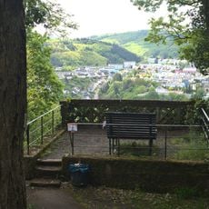
From the summit area, you can see contrasting landscapes across the region, with forested valleys visible alongside neighboring peaks. These views reveal the varied geography of the Schwarzwälder Hochwald and its surroundings in a way that ground-level walking does not always show.
The community of curious travelers
AroundUs brings together thousands of curated places, local tips, and hidden gems, enriched daily by 60,000 contributors worldwide.