Grubenkopf, Mountain summit in Ammergau Alps, Germany.
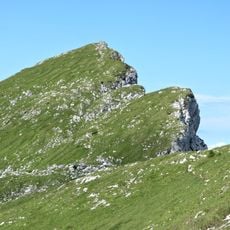
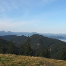
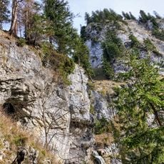
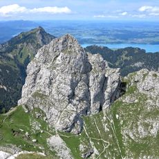
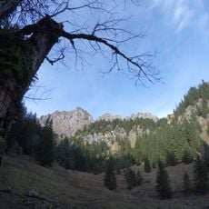
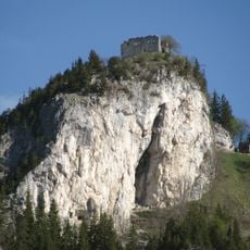
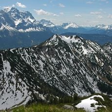
Grubenkopf is a 1,839 m summit in the Klammspitz ridge of the Ammergau Alps, given as 1,847 m in some sources. Its south side is a moderately steep grass and dwarf-pine slope crossed by small paths, while the northeast flank drops from the top as a vertical rock wall into steep scree. A large summit cross stands at the highest point.
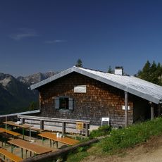
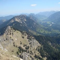
The Grubenkopf lies in the Klammspitzkamm ridge of the Ammergauer Alpen, on the border between Bavaria and Tyrol. Its name combines the German 'Grube' (hollow) and 'Kopf' (head). The summit cross stands at the highest point, reached by small paths from the Hirschwanghütte (1706 m) to the southeast or from the Buchinger Rosstall to the northwest.
The summit cross at the highest point is a large wooden cross, a customary marker in the Ammergau Alps. Hikers often pause there before descending to the Hirschwanghütte below. The routes from the south and from the Buchinger Rosstall are small, faint paths rather than maintained trails.
Reaching the summit requires a full day hike covering about 15 kilometers with roughly 850 meters of elevation gain. The route demands sure-footedness and good fitness, so starting early in the day is recommended.
The summit cross stands at the highest point, reached by small paths from the Hirschwanghütte (1,706 m) to the southeast or from the Buchinger Rosstall to the northwest. The northeast face drops from the top as a vertical rock wall before giving way to steep scree.
The community of curious travelers
AroundUs brings together thousands of curated places, local tips, and hidden gems, enriched daily by 94,036 contributors worldwide.