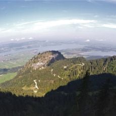
Ammergauer Hochplatte, Mountain summit in Ammergauer Alps, Germany.
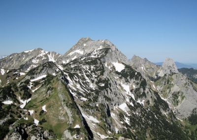
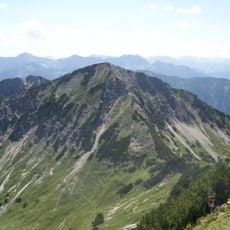
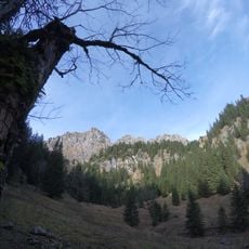
Ammergauer Hochplatte is a mountain summit in the Ammergauer Alps in Bavaria, sitting at around 6,830 feet (2,082 meters) above sea level, with a clear west-to-east ridge defining its shape. The terrain is rocky and steep on most sides, though marked trails and fixed rope sections guide hikers along the standard routes.
Members of the German Alpine Club opened the first climbing routes on this peak in the late 1800s, marking the beginning of organized mountain activity in this part of the Alps. The paths and fixed installations put in place during that era shaped how the mountain is still accessed today.
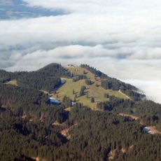
The name Hochplatte refers to the flat, plate-like shape of the summit ridge, which is easy to recognize from the valley below. The paths leading up have been used for generations by hikers from the surrounding Bavarian villages, and this continuity is still felt on the mountain today.
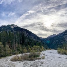
The ascent from Ammerwaldalm is demanding and requires solid footwear and some experience on rocky mountain terrain, as the upper section involves fixed ropes and exposed passages. Starting early in the day gives you a better chance of finishing before afternoon clouds or storms roll in.
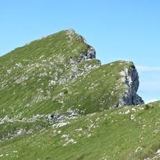
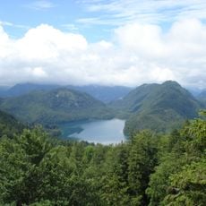
A natural gap in the ridge known as the Fensterl, meaning 'little window' in Bavarian dialect, frames views to both the north and south sides of the mountains at once. Hikers often stop here longer than anywhere else on the route, drawn by the contrast between the two landscapes visible through the same opening.
The community of curious travelers
AroundUs brings together thousands of curated places, local tips, and hidden gems, enriched daily by 60,000 contributors worldwide.