Hoher Straußberg, Alpine summit in Bavaria, Germany
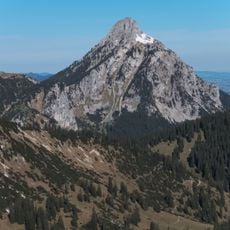
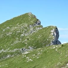
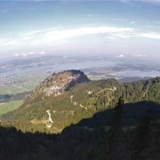
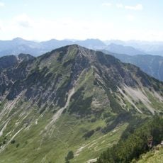
Hoher Straußberg is a 1933 m mountain in the Ammergau Alps above Schwangau, southeast of Füssen. Its south and southwest flanks drop toward the Bleckenau and the Pöllat gorge. The best-known route leaves Hohenschwangau via the Ahornreitweg and the Ahorndiensthütte, then continues largely pathless over the north side to the summit.
The sources record no historical events, dates or human use for Hoher Straußberg; it appears only as a 1933 m summit in the Ammergau Alps above Schwangau. Its documented geography is the flank dropping south and southwest to the Bleckenau and the Pöllatschlucht, with the Tegelberg, Säuling and Hochplatte as neighbours. The usual route leaves Hohenschwangau by the Ahornreitweg past the Ahorndiensthütte, then crosses largely pathless ground on the north side.
The usual route to the summit leaves Hohenschwangau via the Ahornreitweg and the Ahorndiensthütte, then continues largely pathless over the north side. Many walkers descend pathless over the wooded south side to the Alpe Jägerhütte and return to Hohenschwangau on the farm track.
The climb requires sturdy alpine hiking boots and works best when the weather is stable. Bring a headlamp and warm layers, as conditions can shift rapidly at this elevation.
The best-known route starts at Hohenschwangau via the Ahornreitweg and the Ahorndiensthütte, then continues through largely pathless terrain on the north side to the summit. The descent can also be pathless, over the grassy and wooded south side to the Alpe Jägerhütte, returning by farm track.
The community of curious travelers
AroundUs brings together thousands of curated places, local tips, and hidden gems, enriched daily by 94,049 contributors worldwide.