Enable Location

We need your location to show you interesting places around you

Discover nearby places

Find interesting locations and hidden gems around you

Precise directions

Get accurate directions and distances to places

Your location is never shared with other users. It's only used when you tap the location button.

Log in to your account

Start exploring — it's free

Trusted by 63,012 travelers worldwide

Continue with Google
Continue with Apple
or

We will send you a code to connect

By continuing, you accept our Terms and Conditions and our Privacy Policy

Check your inbox

We've sent a pincode in your inbox. Please enter the code below.

Havelhöhenweg
Discussion Reviews Photo
4k Popularity

Havelhöhenweg, Hiking trail in Steglitz-Zehlendorf, Germany.

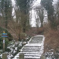
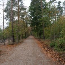
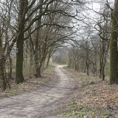
The Havelhöhenweg is a hiking trail in Steglitz-Zehlendorf that runs from Heerstraße to Strandbad Wannsee while passing through the riverbank area of the Havel. The route follows natural elevation changes and connects forest areas with open viewpoints along the water.

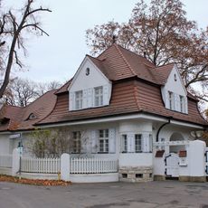
The trail developed from a historic transport route along the Havel that served as an important trade link between Berlin and neighboring regions. Over time, this connection was transformed into a popular hiking path for recreation.

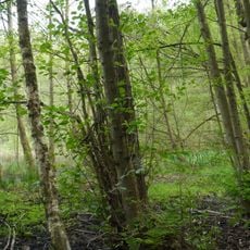
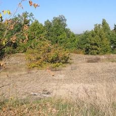
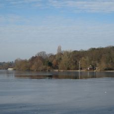
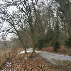
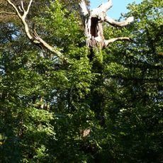
The path winds through forest sections and opens views onto the Havel riverbank landscape. Visitors can experience nature directly here and observe different habitats that shape the area.

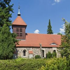
Multiple entry points connect the route to public transportation stops, making access easy from the city. Information boards and benches are placed at regular intervals to help visitors navigate and rest.

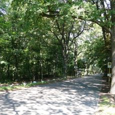
The elevated position of the trail offers continuous views over the Havel River while alternating between forest areas and open riverside zones. This mix of water and woodland perspectives makes the route feel varied and engaging throughout.

The community of curious travelers

AroundUs brings together thousands of curated places, local tips, and hidden gems, enriched daily by 60,000 contributors worldwide.

Start exploring
GPS coordinates
52.49150,13.19230
Latest update
December 11, 2025 11:09
Reviews
Share your experience

No review yet

Discussions
Start a discussion...

No discussion yet

« Havelhöhenweg - Hiking trail in Steglitz-Zehlendorf, Germany » is provided by Around Us (aroundus.com). Images and texts are derived from Wikimedia project under a Creative Commons license. You are allowed to copy, distribute, and modify copies of this page, under the conditions set by the license, as long as this note is clearly visible.

Discover hidden gems everywhere you go!

From secret cafés to breathtaking viewpoints, skip the crowded tourist spots and find places that match your style. Our app makes it easy with voice search, smart filtering, route optimization, and insider tips from travelers worldwide. Download now for the complete mobile experience.

Around Us App Screenshot

A unique approach to discovering new places

Le Figaro

All the places worth exploring

France Info

A tailor-made excursion in just a few clicks

20 Minutes

Around Us
Travel Guide & Maps
Download

Send to your phone

QR Code
1

Open the camera app on your mobile.

2

Point at the QR code with your camera. A notification will appear.

3

Tap the notification to open the link.