Schlebusch, Administrative district in Leverkusen, Germany.
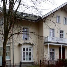
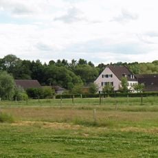
Schlebusch is a district of Leverkusen with several smaller neighborhoods spread across varied terrain. Newer residential areas such as Waldsiedlung and Leimbacher Berg sit alongside older village cores like Edelrath, Neuenhaus, Hummelsheim, and Uppersberg.
Schlebusch appears in written records for the first time in 1135 as part of the Miselohe administrative area within the Duchy of Berg. In 1930, it was absorbed into the city of Leverkusen and ceased to exist as a separate municipality.
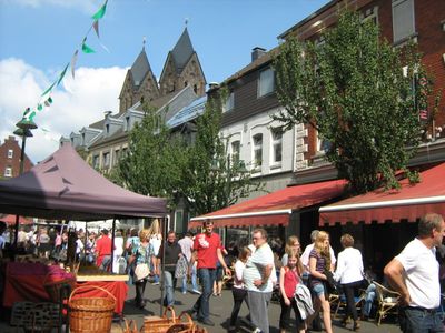
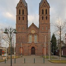
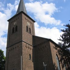
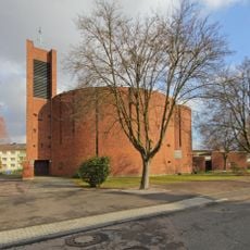
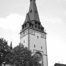
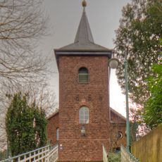
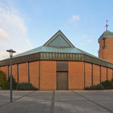
St. Andreas Church stands at the center of the district with its two towers visible from a distance, and its medieval bells still ring out over the rooftops. The building serves as a gathering point for local events and gives the area a recognizable landmark.
The district is connected to the regional rail network through Leverkusen-Manfort station, with direct links to Cologne and nearby towns. The pedestrian zone in the center offers everyday shops and services, making it a convenient starting point for a visit.
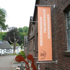
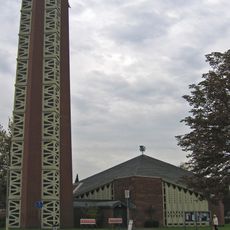
The Freudenthaler Sensenhammer Museum occupies a former scythe factory where the original machinery and workshops are still in working order. The restored forge hall is used as a concert venue, turning an old industrial building into a place where live music regularly takes place.
The community of curious travelers
AroundUs brings together thousands of curated places, local tips, and hidden gems, enriched daily by 60,000 contributors worldwide.