
Koslar, human settlement in Germany
Location: Jülich
Elevation above the sea: 79 m
GPS coordinates: 50.92639,6.31833
Latest update: June 11, 2025 14:23
Zitadelle Jülich
2.9 km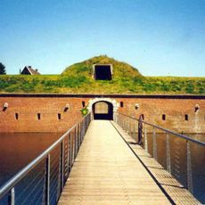
Brückenkopf Jülich
2.3 km
Festung Jülich
2.9 km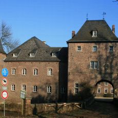
Schloss Kellenberg
2.7 km
Hexenturm
2.7 km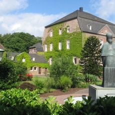
Haus Overbach
2 km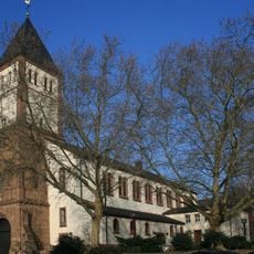
St. Mariä Himmelfahrt
2.9 km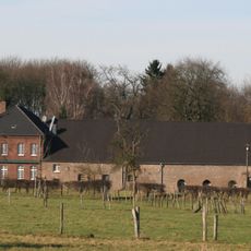
Schloss Linzenich
2.8 km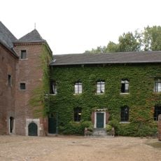
Burg Engelsdorf
1.7 km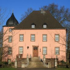
Haus Broich
2.6 km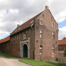
Burg Bourheim
2.6 km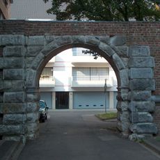
Aachener Tor
2.8 km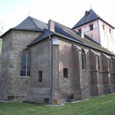
St. Martinus
2 km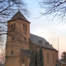
Hl. Maurische Märtyrer
2.7 km
St. Rochus (Jülich)
2.9 km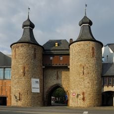
Stadtgeschichtliches Museum Jülich
2.7 km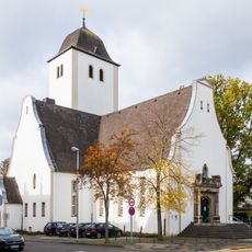
Christuskirche
2.7 km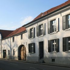
Hubertushof
2 km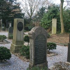
Jüdischer Friedhof Jülich
2.6 km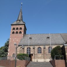
St. Adelgundis
136 m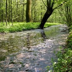
Rurmäander zwischen Floßdorf und Broich
2.9 km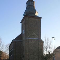
St. Philippus und Jakobus (Broich)
2.8 km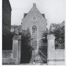
Synagogue in Jülich
2.7 km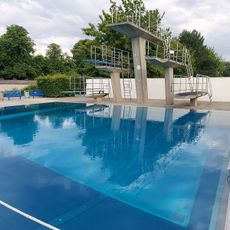
Freibad
2 km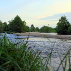
Rur in Jülich
2 km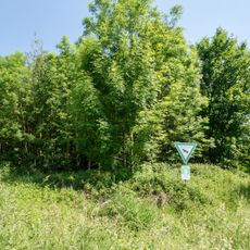
Schloss Kellenberg
2.9 km
Haus Overbach-Ost
2 km
LSG-Merzbachtal und Rurtalhang
1.2 kmReviews
Visited this place? Tap the stars to rate it and share your experience / photos with the community! Try now! You can cancel it anytime.
Discover hidden gems everywhere you go!
From secret cafés to breathtaking viewpoints, skip the crowded tourist spots and find places that match your style. Our app makes it easy with voice search, smart filtering, route optimization, and insider tips from travelers worldwide. Download now for the complete mobile experience.

A unique approach to discovering new places❞
— Le Figaro
All the places worth exploring❞
— France Info
A tailor-made excursion in just a few clicks❞
— 20 Minutes