
Castellum of Rötelsee, human settlement in Germany
Location: Welzheim
Part of: Upper German-Raetian Limes
GPS coordinates: 48.88664,9.63385
Latest update: March 8, 2025 05:23

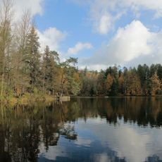
Ebnisee
4.3 km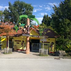
Schwaben Park
2.4 km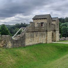
Welzheim East Roman Fort
1.8 km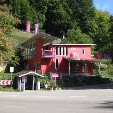
Eins-und-Alles Welzheim
2.1 km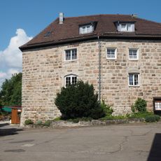
Burg Waldenstein
5.7 km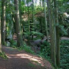
Hägeles- und Brunnenklinge
4.7 km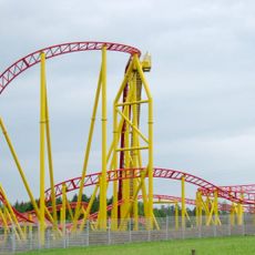
Force One
2.4 km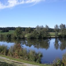
Hochwasserrückhaltebecken Aichstrut
1.9 km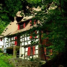
Klingenmühle
2.5 km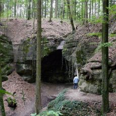
Kesselgrotte
2.8 km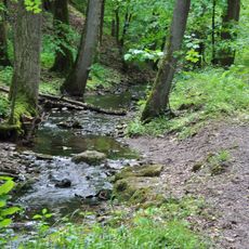
Strümpfelbachtal
4.2 km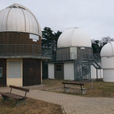
Sternwarte Welzheim
3 km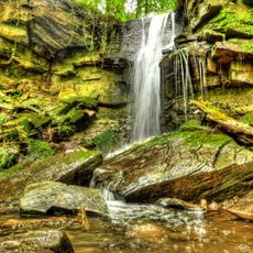
Forellensprung
4.3 km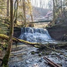
Wieslaufschlucht und Edenbachschlucht
3 km
Kleinkastell Ebnisee
4.5 km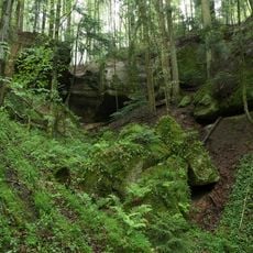
Geldmacherklinge
2.3 km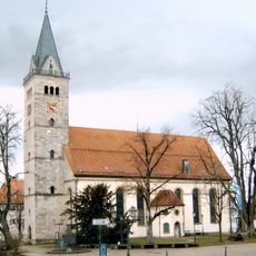
St. Gallus (Welzheim)
1.3 km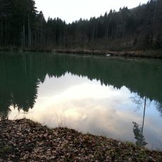
Berghofsee
5.8 km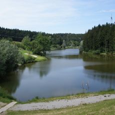
Welzheimer Wald
2.9 km
Ebnisee
3.9 km
Rottal zwischen Hüttenbühl und Buchengehren
5.4 km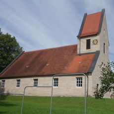
Evangelische Kirche
4.8 km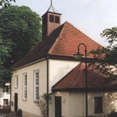
Petruskirche
5.6 km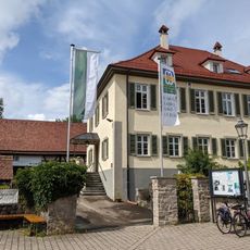
Städtisches Museum Welzheim
1.3 km
Kastell Welzheim West
1.6 km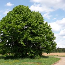
Alte Linde
3.7 km
Ehemaliger Steinbruch am Hans-Dobel-Weg
3.5 km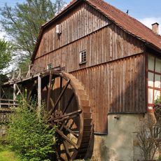
Meuschenmühle
3.4 kmReviews
Visited this place? Tap the stars to rate it and share your experience / photos with the community! Try now! You can cancel it anytime.
Discover hidden gems everywhere you go!
From secret cafés to breathtaking viewpoints, skip the crowded tourist spots and find places that match your style. Our app makes it easy with voice search, smart filtering, route optimization, and insider tips from travelers worldwide. Download now for the complete mobile experience.

A unique approach to discovering new places❞
— Le Figaro
All the places worth exploring❞
— France Info
A tailor-made excursion in just a few clicks❞
— 20 Minutes