
Castellum on Forsthofweg, human settlement in Germany
Location: Rhineland-Palatinate
Part of: Upper German-Raetian Limes
GPS coordinates: 50.49440,7.39389
Latest update: June 2, 2025 18:40
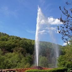
Andernach Geyser
5.3 km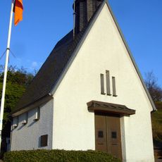
Ehrenmal des Infanterie-Regiments Nr. 29
4 km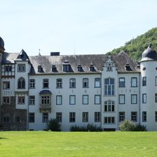
Namedy Castle
5 km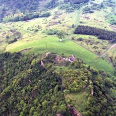
Burg Hammerstein
3.6 km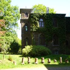
Schloss Monrepos
3.8 km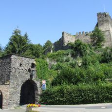
Altwied Castle
5.4 km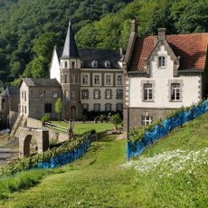
Schloss Brohleck
5.1 km
Monrepos Archäologisches Forschungszentrum
3.8 km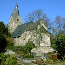
Feldkirche (Neuwied)
5.5 km
RömerWelt
5.1 km
Römersteinbruch bei Andernach
5 km
Hohe Buche
5.2 km
Landwehr
4.7 km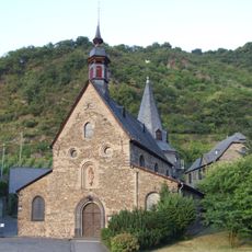
St. George
3.8 km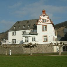
Zehnthof
5 km
Saint Suitbert Church
4.2 km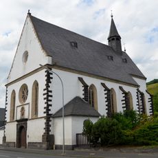
Wallfahrtskirche zum Heiligen Kreuz
4.5 km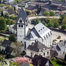
St. Laurentius
4.7 km
St. Michael
5.5 km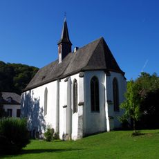
St. Antonius (Altwied)
5.3 km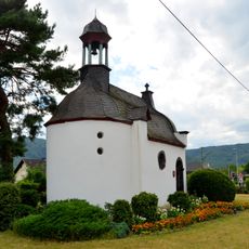
Oelbergkapelle
4.5 km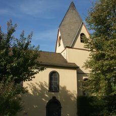
Gertrudenkapelle Rheinbrohl
4.5 km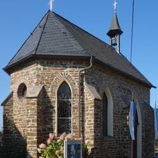
Maria-Hilf-Kapelle
4.4 km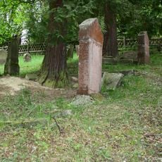
Jüdischer Friedhof (Rheinbrohl)
3.9 km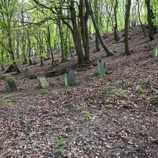
Jüdischer Friedhof
3.4 km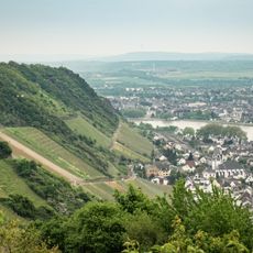
Langenbergskopf
4.4 km
Namedyer Werth
5.1 km
St. Bartholomäus
5.2 kmReviews
Visited this place? Tap the stars to rate it and share your experience / photos with the community! Try now! You can cancel it anytime.
Discover hidden gems everywhere you go!
From secret cafés to breathtaking viewpoints, skip the crowded tourist spots and find places that match your style. Our app makes it easy with voice search, smart filtering, route optimization, and insider tips from travelers worldwide. Download now for the complete mobile experience.

A unique approach to discovering new places❞
— Le Figaro
All the places worth exploring❞
— France Info
A tailor-made excursion in just a few clicks❞
— 20 Minutes