Kölnpfad, Circular hiking trail in Cologne, Germany
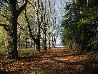
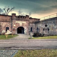
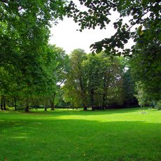
The Kölnpfad is a circular hiking route spanning around 171 kilometers that circles Cologne and connects urban sections with natural landscapes. The path winds through forests, crosses meadows, and follows riverbank trails, marked throughout by black and white circular signs for orientation.
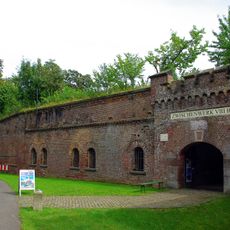
The route was established in 2008 as a connected hiking path circling the city. Information panels placed along the trail share details about how Cologne and the surrounding regions have developed over time.
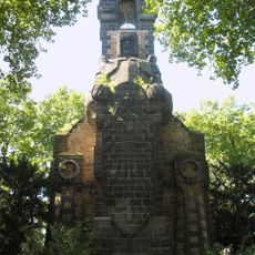
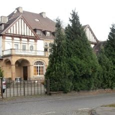
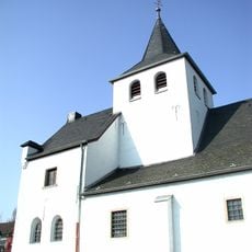
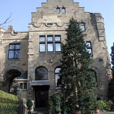
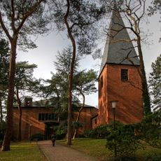
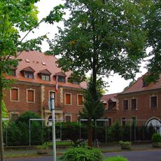
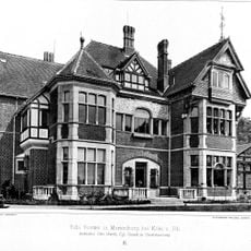
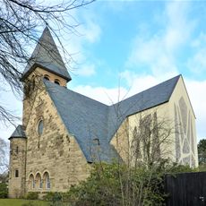
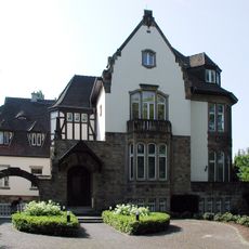
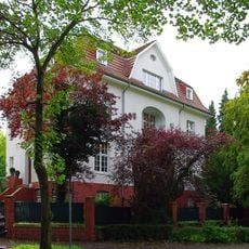
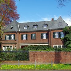
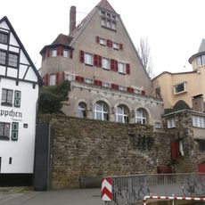
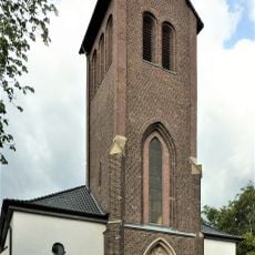
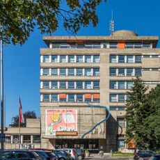
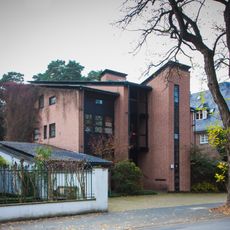
The trail passes through different neighborhoods and villages, where you encounter local architecture, the way people live, and regional characteristics of the area. Along the way, you notice how urban and rural spaces have their own distinct identities and how communities maintain their particular character.
The route has access points to public transportation at various locations, making it easy to walk shorter sections or start at different times. The black and white markers are clearly visible throughout, helping you stay on track.
In 2009, the route hosted the first ultra-marathon organized by the German Ultra Marathon Association, drawing long-distance runners from across the country. This event put the trail on the map for endurance athletes.
The community of curious travelers
AroundUs brings together thousands of curated places, local tips, and hidden gems, enriched daily by 60,000 contributors worldwide.