
Randau-Calenberge, human settlement in Magdeburg, Germany
Location: Magdeburg
Inception: June 20, 1957
GPS coordinates: 52.06463,11.74098
Latest update: March 11, 2025 01:51

Schloss Randau
1.1 km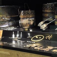
Fürstengrab von Gommern
2.5 km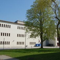
Berufsbildende Schulen IV „Dr. Otto Schlein“
4.3 km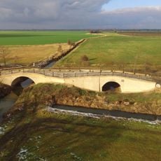
Klusbrücke
3.2 km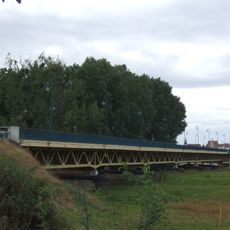
Elbebrücke Schönebeck
4.4 km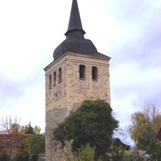
Sankt-Stephanus-Kirche
4.3 km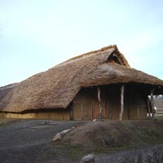
Steinzeitdorf Randau
1.5 km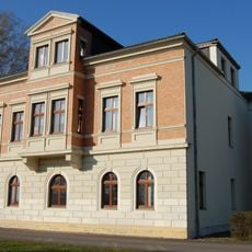
Gerloffsche Villa
4.3 km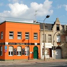
Gaststätte „Zur Fähre“
4.4 km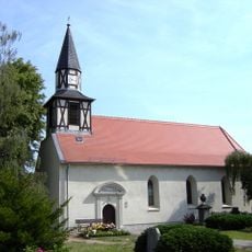
St. Thomas
3.4 km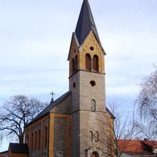
St. Georg
74 m
St. Sophie
1.1 km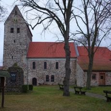
St. Maria Magdalena (Plötzky)
4.3 km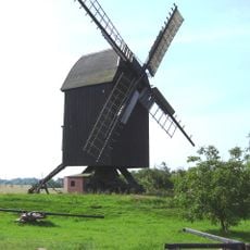
Bockwindmühle Pechau
3.7 km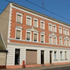
Alt Westerhüsen 15
4.6 km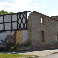
Kieler Straße 9
4.4 km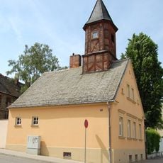
Gemeindehaus Westerhüsen
4.4 km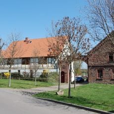
Bischoffscher Hof
4.3 km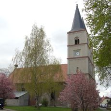
Sankt-Laurentius-Kirche
3.9 km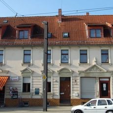
Wohn- und Geschäftshaus Alt Westerhüsen 32
4.4 km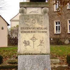
Kriegerdenkmal Randau
1.1 km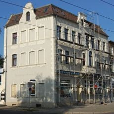
Wohn- und Geschäftshaus Alt Westerhüsen 30
4.4 km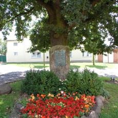
Kriegerdenkmal Calenberge
280 m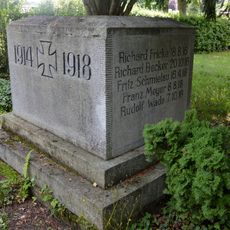
Kriegerdenkmal Grünewalde
3.9 km
Breite Straße 15
3.1 km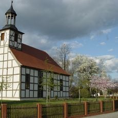
St. Pankratius
2.6 km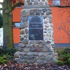
Kriegerdenkmal Pechau
3.2 km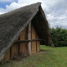
Steinzeitdorf Randau
1.5 kmReviews
Visited this place? Tap the stars to rate it and share your experience / photos with the community! Try now! You can cancel it anytime.
Discover hidden gems everywhere you go!
From secret cafés to breathtaking viewpoints, skip the crowded tourist spots and find places that match your style. Our app makes it easy with voice search, smart filtering, route optimization, and insider tips from travelers worldwide. Download now for the complete mobile experience.

A unique approach to discovering new places❞
— Le Figaro
All the places worth exploring❞
— France Info
A tailor-made excursion in just a few clicks❞
— 20 Minutes