Mörderberg, Summit in Stadtrandsiedlung Malchow, Berlin, Germany
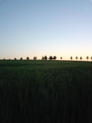
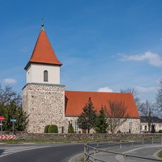
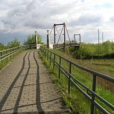
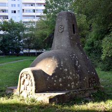
Mörderberg is a hill in northern Berlin that rises about 57 meters above sea level and defines the landscape of the Malchow settlement area. The elevation offers views across the flat surroundings and sits next to green spaces that border the neighborhood.
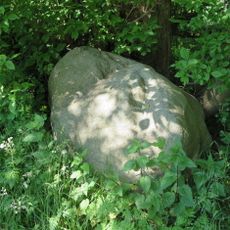
The hill formed through geological processes and was long shaped by difficult soil conditions that are preserved in its name. The area only developed into a settlement later, after infrastructure was prepared for construction.
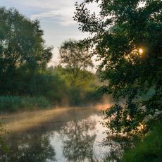
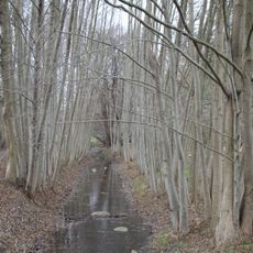
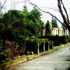
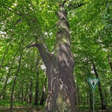
The name refers to the marshy soil conditions that once defined this area, connecting the settlement to its natural past. Residents use the hilltop as a starting point for walks through the surrounding green spaces.
The hill is easily reached by public transport with several bus lines serving the settlement and its edges. The best times to visit are spring and autumn, when weather is dry and paths around the area are easy to walk.
Despite its modest height, the elevation is an important landmark in this flat area and offers surprisingly good views across the settlement. Many visitors discover on closer inspection that the surroundings are shaped by old paths and boundary lines that still influence the landscape today.
The community of curious travelers
AroundUs brings together thousands of curated places, local tips, and hidden gems, enriched daily by 60,000 contributors worldwide.