Ruhraue Witten-Gedern, Protected area in Witten and Herdecke, Germany.
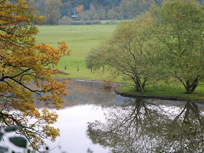
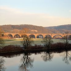
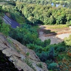
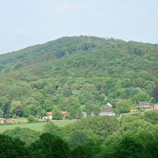
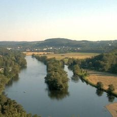
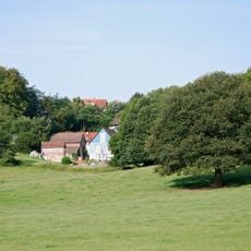
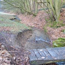
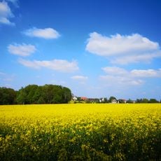
Ruhraue Witten-Gedern is a protected area covering 85 hectares along the Ruhr River, combining meadows, pastures, reed beds, and two historic railway embankments into one connected landscape. The terrain forms a damp lowland with open grasslands where livestock graze, bordered by reed strips along the riverbank.
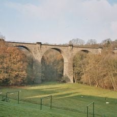
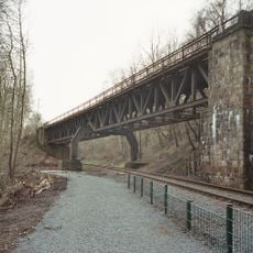
The area received official protection status in 1984 as part of a regional landscape planning initiative and was assigned the designation EN-006. The two railway embankments date from the late 19th century and continue to define the physical structure of the reserve today.
The name comes from the Geder stream system that flows through the region. Grazing cattle and horses shape the meadows, creating a working landscape that visitors can observe throughout their visit.
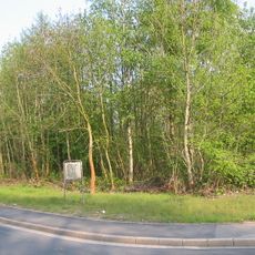
An elevated footpath and bicycle trail runs along the old railway embankments with information panels positioned at key viewpoints. The path is easy to walk and allows comfortable wildlife observation without requiring strenuous activity.
More than one hundred bird species make their home here, including species rarely seen in this region. At the same time, the Geder meadows serve as protection zones for drinking water sources, showing how this place balances conservation with practical water supply.
The community of curious travelers
AroundUs brings together thousands of curated places, local tips, and hidden gems, enriched daily by 60,000 contributors worldwide.