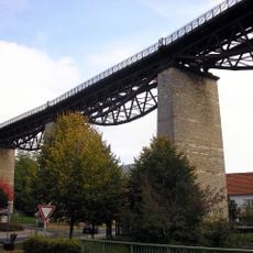
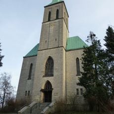
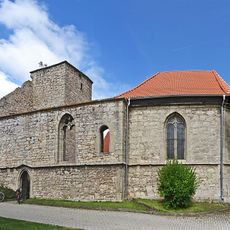
Rennstieg, Ridge trail in Thuringian Forest, Germany
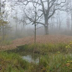
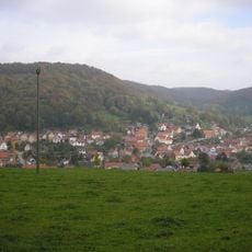
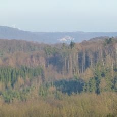
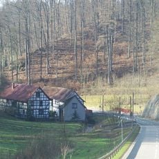
The Rennsteig is a ridge trail that winds through the Thuringian Forest, guiding hikers through dense coniferous forests and across open mountaintops. The terrain alternates between steeper climbs and gentler sections, making the route accessible to both beginners and experienced walkers.
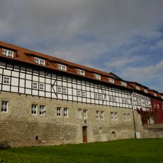
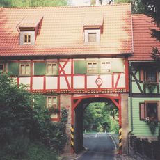
The route developed from a medieval border path between competing principalities and gradually became an established trade route. Over centuries, it evolved from a simple frontier line into a recognized way for moving people and goods across the mountains.
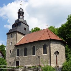
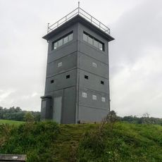
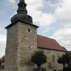
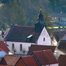
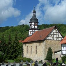
The name comes from medieval border guards who rode patrol routes along this ridge, and this history remains visible in the landscape today. The boundary stones scattered throughout the forest tell stories of territorial divisions that defined life in this region for centuries.
The trail is walkable year-round but requires different gear and preparation depending on the season. Good footwear and weather-resistant clothing are essential, as conditions on the exposed ridges can change rapidly.
At one location, the drainage areas of three major rivers converge, making this point a rare geographical phenomenon. Many hikers pass through this spot without realizing that water here flows toward three different directions into distinct river systems.
The community of curious travelers
AroundUs brings together thousands of curated places, local tips, and hidden gems, enriched daily by 60,000 contributors worldwide.