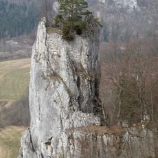
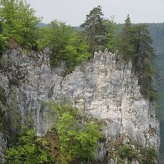
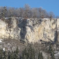
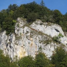
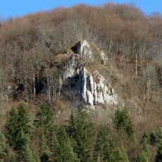
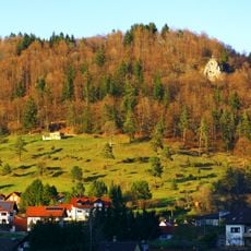
Schnaitkapf, Mountain summit in Baden-Württemberg, Germany.
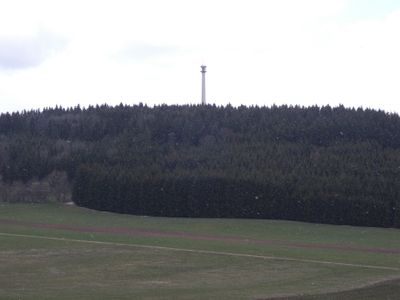
Schnaitkapf is a mountain summit in Sigmaringen district, Baden-Württemberg, rising to 921 meters in elevation. A communications tower stands at its peak, serving as a visible landmark across the surrounding countryside.
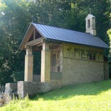
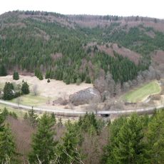
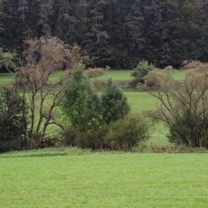
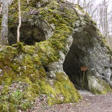
The mountain has long served as a natural landmark and shows traces of ancient settlement in the area. In 1939, the Wilhelmshütte shelter was built at its base to provide a rest spot and gathering place for visitors.
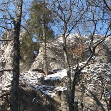
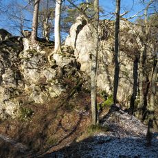
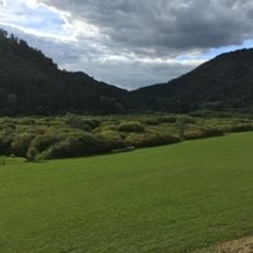
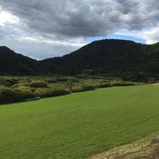
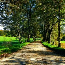
The mountain serves as a popular meeting point for people in the region who come to hike and spend time outdoors. The area is regularly used for day trips and gatherings, especially during pleasant weather.
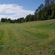
Several marked hiking trails approach the summit from different starting points, offering varying levels of difficulty for different abilities. Wear sturdy footwear and check conditions before heading up, as weather can change quickly on the mountain.
Beyond the communications tower, a public grilling area at Wilhelmshütte allows visitors to prepare their own meals on the mountain. This blend of modern technology and recreational facilities creates an unusual gathering point for hikers.
The community of curious travelers
AroundUs brings together thousands of curated places, local tips, and hidden gems, enriched daily by 60,000 contributors worldwide.