
Süderneuland I, human settlement in Germany
Location: Norden
Elevation above the sea: 2 m
GPS coordinates: 53.58330,7.21667
Latest update: April 2, 2025 23:57
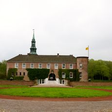
Schloss Lütetsburg
3.6 km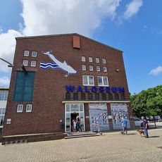
Waloseum
5 km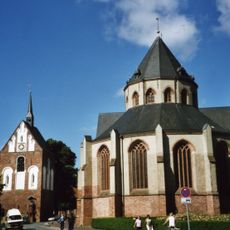
Ludgeri Church Norden
1.6 km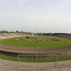
Motodrom Halbemond
3.7 km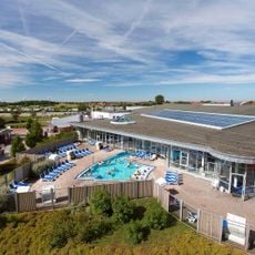
Ocean Wave
5 km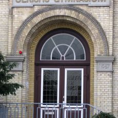
Ulrichsgymnasium Norden
1.9 km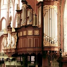
Organ of St. Ludgeri in Norden
1.6 km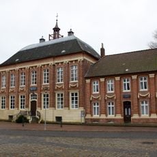
Mennonitenkirche Norden
1.5 km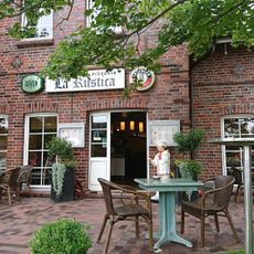
La Rustica Pizzeria
2.8 km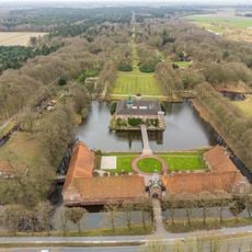
Schlosspark Lütetsburg
3.4 km
Diekster Köken
5.6 km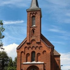
St.-Ludgerus-Kirche
1.6 km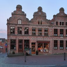
Dree Süsters
1.5 km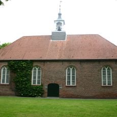
Bargeburer Kirche
1.2 km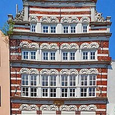
Schöningh House
1.6 km
Andreaskirche (Norden)
1.7 km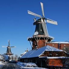
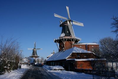
Deichmühle
748 m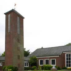
Gnadenkirche Tidofeld
1.7 km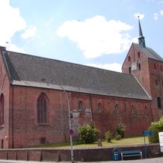
St.-Ansgari-Kirche
4.9 km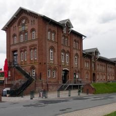
Zoll- und Packhaus (Norden)
796 m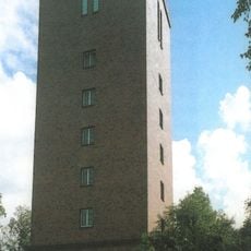
Wasserturm in Norden
1.8 km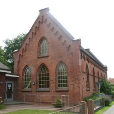
Christuskirche (Norden)
1.6 km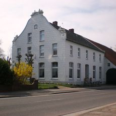
Löwenhaus
1.9 km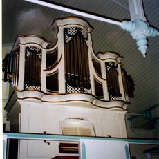
Organo della Christuskirche (Norden)
1.6 km
Magda-Heyken-Haus
5.3 km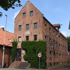
Conerusspeicher
1.2 km
Westgaster Mühle
1.8 km
Westermarsch
4 kmVisited this place? Tap the stars to rate it and share your experience / photos with the community! Try now! You can cancel it anytime.
Discover hidden gems everywhere you go!
From secret cafés to breathtaking viewpoints, skip the crowded tourist spots and find places that match your style. Our app makes it easy with voice search, smart filtering, route optimization, and insider tips from travelers worldwide. Download now for the complete mobile experience.

A unique approach to discovering new places❞
— Le Figaro
All the places worth exploring❞
— France Info
A tailor-made excursion in just a few clicks❞
— 20 Minutes