
Sülfeld, human settlement in Germany
Location: Wolfsburg
Elevation above the sea: 74 m
GPS coordinates: 52.41670,10.68330
Latest update: April 23, 2025 13:33
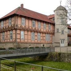
Fallersleben Castle
2.3 km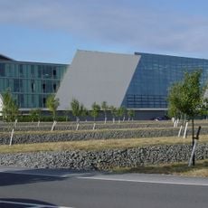
MobileLifeCampus
4.2 km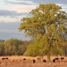
Ilkerbruch
2 km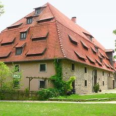
Altes Brauhaus zu Fallersleben
2.3 km
Hoffmann-von-Fallersleben-Museum
2.2 km
Michaeliskirche
2.3 km
Düpenwiesen
3.2 km
Barnbruchswiesen und Ilkerbruch
1.8 km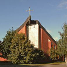
St. Elisabeth
4 km
Mutterschaft Mariens
2.5 km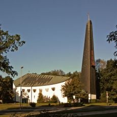
Pauluskirche
4.4 km
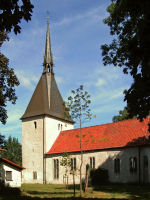
Markuskirche Sülfeld
573 m
St. Ludgeri-Kirche in Ehmen
2.2 km
St.-Petri-Kirche
4.3 km
Hackebusch-Kalkberge
1.4 km
Amtsgericht Wolfsburg building
2.1 km
Düpenwiesen
3.7 km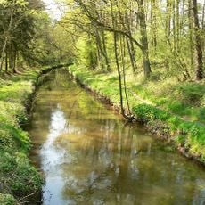
Barnbruch
4.1 km
Barnbruch
3.7 km
Schleusensiedlung 5/ 6
1.4 km
Barnbruch
4.5 km
Barnbruch Wald
3.7 km
Schwefelbad Fallersleben
1.8 km
Wasserturm Ehmen
2.7 km
Dietzeberg
332 m
Schacht "Ehmen I"
2.7 km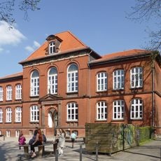
Eulenschule
2.3 km
Gemeindehaus St. Ludgeri
2.2 kmVisited this place? Tap the stars to rate it and share your experience / photos with the community! Try now! You can cancel it anytime.
Discover hidden gems everywhere you go!
From secret cafés to breathtaking viewpoints, skip the crowded tourist spots and find places that match your style. Our app makes it easy with voice search, smart filtering, route optimization, and insider tips from travelers worldwide. Download now for the complete mobile experience.

A unique approach to discovering new places❞
— Le Figaro
All the places worth exploring❞
— France Info
A tailor-made excursion in just a few clicks❞
— 20 Minutes