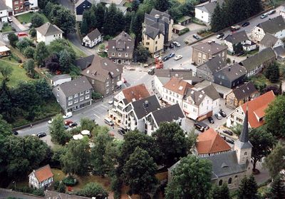
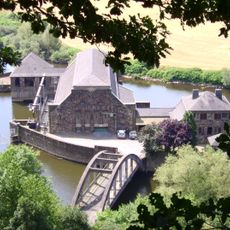
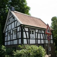
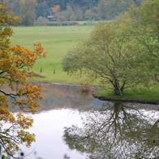
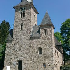
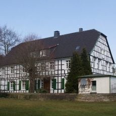
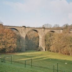
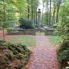
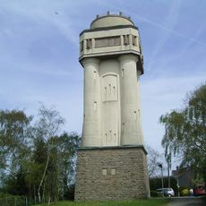
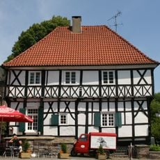
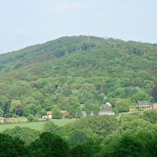
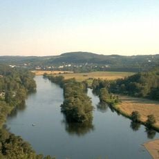
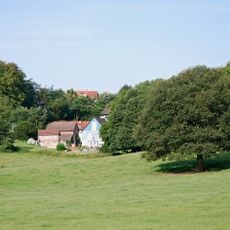
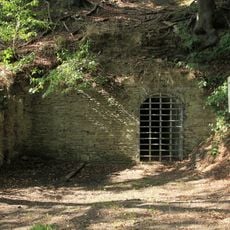
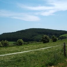
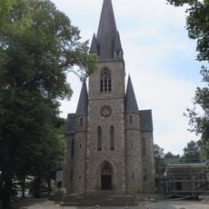
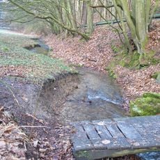
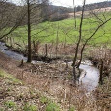
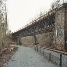
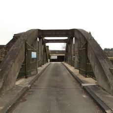
Wengern, district of Wetter (Ruhr), North Rhine-Westphalia, Germany
Location: Wetter
Elevation above the sea: 92 m
Shares border with: Annen, Herbede, Bommern
GPS coordinates: 51.40032,7.34427
Latest update: March 3, 2025 09:23
Mining hiking trail Muttental
2.5 km
Haus Mallinckrodt
1.1 km
Gut Schede
2.8 km
Hohenstein power station
2.8 km
Schlebuscher Erbstollen
2.1 km
Henriette-Davidis-Museum
134 m
Ruhraue Witten-Gedern
938 m
Dorfkirche Wengern
185 m
Muttentalbahn
2.7 km
Steinbruch Rauen
2.5 km
Haus Dönhoff
327 m
Elbschetalviadukt
439 m
Erbbegräbnisstätte Schede
2.4 km
Bommerholz Water Tower
1.6 km
Leimkasten
174 m
Elbschebach Witten Bommerholz
2.5 km
Estate Obergedern
1.3 km
Mine Maximus
2.8 km
Mine Fortuna
2.5 km
Ardeypforte
699 m
Elberg
697 m
Zeche Timmerbeil
2.8 km
Hostreich-Berg
1.8 km
Evangelische Kirche
1.8 km
Landschaftsschutzgebiet Wartenberg-Arenberg-Kalmerskopf-Im Schuppling
2.2 km
Landschaftsschutzgebiet Vormholz-Waldungen/Muttental-Waldungen/Muttenbach
2.7 km
Eisenbahnbrücke bei Bommern
1 km
Bridge to Hohenstein Power Station
2.8 kmVisited this place? Tap the stars to rate it and share your experience / photos with the community! Try now! You can cancel it anytime.
Discover hidden gems everywhere you go!
From secret cafés to breathtaking viewpoints, skip the crowded tourist spots and find places that match your style. Our app makes it easy with voice search, smart filtering, route optimization, and insider tips from travelers worldwide. Download now for the complete mobile experience.
A unique approach to discovering new places❞
— Le Figaro
All the places worth exploring❞
— France Info
A tailor-made excursion in just a few clicks❞
— 20 Minutes