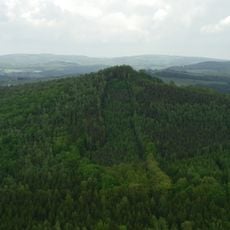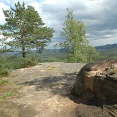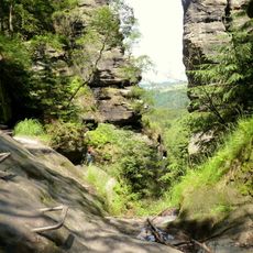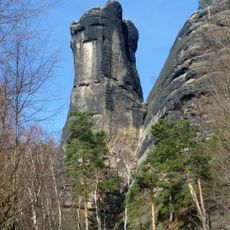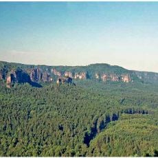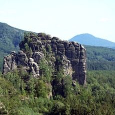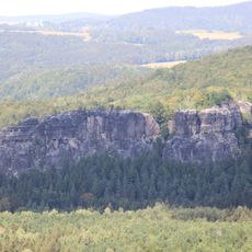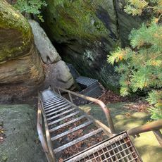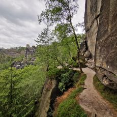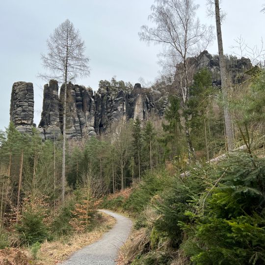
Bloßstock, Rock formation in Saxon Switzerland National Park, Germany
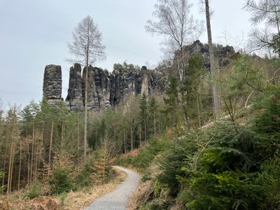
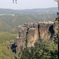
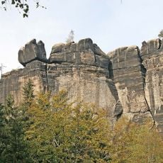
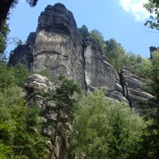
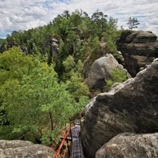
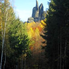
Bloßstock is a rock formation in Saxon Switzerland that rises steeply above the surrounding landscape. Its north wall drops almost straight down, creating a prominent vertical surface.
The rock appears as "am bloßen Stock" in Matthias Oeder's map of the First Saxon Electoral Survey of 1592, from which the name derives, meaning a free-standing rock. In the 19th century it was sometimes wrongly called Blauer Stock or Blaustock. The first ascent came in 1899, when Heinrich Wenzel, Robert Püschner and Fritz Gerbing crossed the gap using a tree trunk and climbed a chimney to the summit; their Wenzelweg is graded V.
The name Bloßer Stock, recorded in Matthias Oeder's 1592 survey map, means a free-standing rock; in the 19th century it was sometimes wrongly written Blauer Stock. The Saxon difficulty scale grades the routes here, from the 1899 Wenzelweg at V to Bernd Arnold's Zentrale Nordwand at IXa.
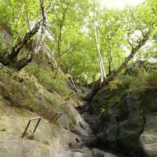
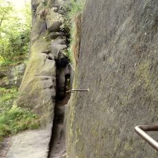
The summit is not accessible to walkers: reaching it requires free climbing of the 79.5 m north face or the chimney routes, graded V and above on the Saxon scale. Approach from Bad Schandau through the Affensteine; the rock stands north of the Kreuzturm, separated from it by a deep gap.
The rock has an exceptionally steep north wall that drops almost straight down, a rare feature in this region. This extreme steepness makes it a special draw for experienced climbers.
The community of curious travelers
AroundUs brings together thousands of curated places, local tips, and hidden gems, enriched daily by 92,814 contributors worldwide.