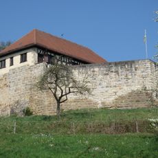
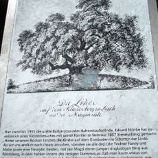
Burgstall Burren, Medieval castle ruins in Wäschenbeuren, Germany
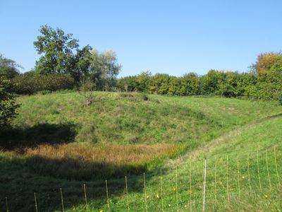
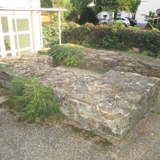
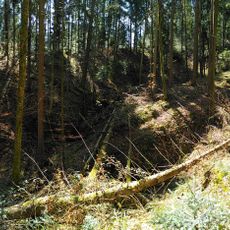
Burgstall Burren is a medieval castle ruin near Wäschenbeuren whose remains were revealed through excavations in 1957. The site shows the foundations of an early residential tower alongside traces of a larger structure built several centuries later.
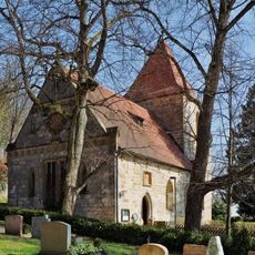
The site began as a residential tower in the 11th century and was later rebuilt into a larger structure between 1220 and 1250. This shift from simple to more elaborate construction shows how the settlement evolved over time.
The site holds a place in local memory as a minor noble residence rather than a seat of major power, which reflects how the region was shaped by smaller local lords. This everyday role helps visitors understand the actual structure of medieval leadership beyond the famous dynasties.
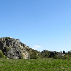
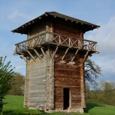
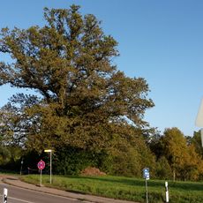
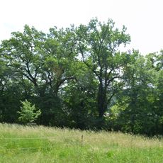
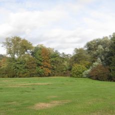
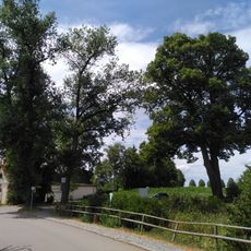
The local parish maintains the grounds as a sheep pasture today, keeping the area open and accessible to visitors. A nearby water tower provides a good vantage point to view the castle site and the surrounding landscape.
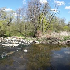
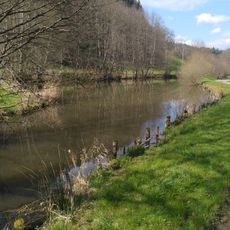
The castle grounds were surrounded by a shallow ditch that served more as a boundary line than as a defensive barrier. This modest feature reveals that not every medieval fortress needed impressive fortifications to fulfill its purpose.
The community of curious travelers
AroundUs brings together thousands of curated places, local tips, and hidden gems, enriched daily by 60,000 contributors worldwide.