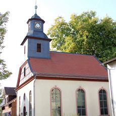
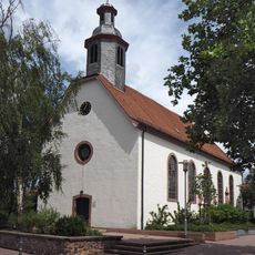
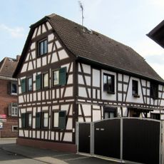
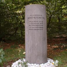
Walldorf, Administrative district area in Mörfelden-Walldorf, Germany.
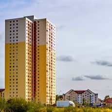
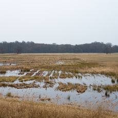
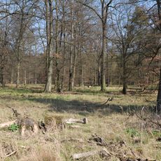
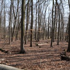
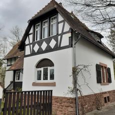
Walldorf is a district within Mörfelden-Walldorf that consists of residential neighborhoods separated by local roads and patches of green space. The area sits at roughly 103 meters in elevation and displays a mixed, low-density layout with different housing styles spread throughout.
Walldorf operated as an independent community until 1977, when it merged with Mörfelden to form the unified city it is today. This consolidation reshaped local governance and created a combined municipal administration.
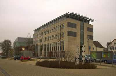
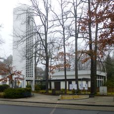
Regular community events take place in Walldorf's town hall, which serves as the central meeting point for local residents and administrative functions.
The area enjoys convenient bus connections to nearby Frankfurt Airport and maintains several public administrative offices for residents. Local public transport makes it straightforward to commute to surrounding cities and employment centers.
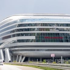
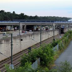
The district sits in a strategic location between Frankfurt Airport and the broader Frankfurt metropolitan region to the south, making it a notable transportation hub. This position has shaped its character as a modern residential area with excellent accessibility.
Location: Mörfelden-Walldorf
Elevation above the sea: 103 m
GPS coordinates: 50.00140,8.57129
Latest update: December 11, 2025 11:02
The Squaire
5.7 km
Schloß Wolfsgarten
5.4 km
Badesee Mörfelden-Walldorf
2.4 km
Rollbahnbrücke
5.5 km
Jagdschloss Mönchbruch
5.2 km
Zeppelin Museum Zeppelinheim
4.9 km
Alpha-Hochhaus
6.4 km
Gemeindezentrum Zeppelinheim
4.9 km
Luxhohl
3 km
Hl. Thomas von Aquin
5.8 km
Martin-Luther-Kirche
5.7 km
Jüdischer Friedhof (Egelsbach)
6.7 km
Waldenserkirche
183 m
Evangelische Kirche Erzhausen
6.8 km
Evangelische Kirche Mörfelden
3 km
Haus Hauptstraße 30
6.8 km
Bernd Rosemeyer Memorial
3.8 km
Mönchbruch von Mörfelden und Rüsselsheim
4.7 km
Princess Elisabeth of Hesse's Playhouse
5.3 km
Mönchbruch von Mörfelden u.Rüsselsheim u.Gundwiesen von Mörfelden
3.2 km
Mönchbruch und Wälder bei Mörfelden-Walldorf und Groß-Gerau
5 km
Heidelandschaft westlich Mörfelden-Walldorf mit angrenz. Flächen
4.5 km
Mark- und Gundwald zwischen Rüsselsheim und Walldorf
1.3 km
Untermainschleusen
6.8 km
Kelsterbacher Wald
5.6 km
Ehem. Forsthaus
6.8 km
Wasserturm Mörfelden
1.9 km
LAC - Lufthansa Aviation Center
5.4 kmVisited this place? Tap the stars to rate it and share your experience / photos with the community! Try now! You can cancel it anytime.
Discover hidden gems everywhere you go!
From secret cafés to breathtaking viewpoints, skip the crowded tourist spots and find places that match your style. Our app makes it easy with voice search, smart filtering, route optimization, and insider tips from travelers worldwide. Download now for the complete mobile experience.
A unique approach to discovering new places❞
— Le Figaro
All the places worth exploring❞
— France Info
A tailor-made excursion in just a few clicks❞
— 20 Minutes