Chest opened
+${chestReward.xp} XP
Explorer
NOUVEAU ×${chestReward.collectible.quantity}
tapez pour fermer

See the monuments around you in AR Open chests in the app

Around Us is built for your phone — point your camera at the streets and discover the monuments and places around you in augmented reality. Around Us is built for your phone — chests unlock when you walk, explore and capture nearby places.

•

Enable Location

We need your location to show you interesting places around you

Discover nearby places

Find interesting locations and hidden gems around you

Precise directions

Get accurate directions and distances to places

Your location is never shared with other users. It's only used when you tap the location button.

Langenberg

Log in to your account

Start exploring — it's free

Trusted by 92,686 travelers worldwide

Continue with Google
Continue with Apple
or

We will send you a code to connect

By continuing, you accept our Terms and Conditions and our Privacy Policy

Check your inbox

We've sent a pincode in your inbox. Please enter the code below.

Langenberg

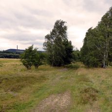
Langenberg, Mountain summit in Bad Harzburg, Germany.

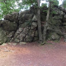
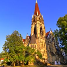
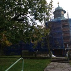
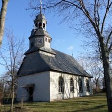
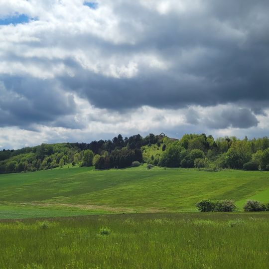
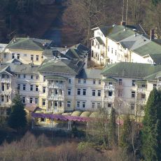
Langenberg is a mountain summit near Bad Harzburg that rises to 304 meters and is covered with forest. The peak sits within the Harz mountain range and connects to surrounding trails that link to other peaks in the region.

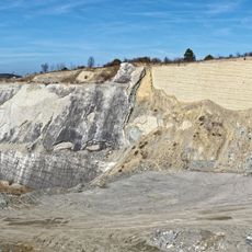
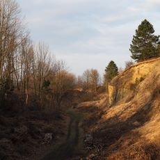
The name Langenberg appears in documents as "silva Langenberg" between 1285 and 1296 and as "der Langenberch" in 1309, both tied to the Goslar Cathedral chapter. Chalk was quarried at the hill's western tip from at least the mid-18th century, and in 1871 Adolph Willikens opened the large Kalkröse quarry there. The Hansa Pit, founded in 1861 after Wilhelm Castendyck found oolitic iron ore, operated until 23 August 1960.

The name simply means "long mountain" in German, referring to the ridge's elongated, hercynian profile parallel to the Harz. The hill was first recorded between 1285 and 1296 as "silva Langenberg" and in 1309 as "der Langenberch", belonging to the Goslar Cathedral chapter. Today the disused quarry, where Holger Lüdtke found a sauropod tooth in 1998, is fenced off and privately owned.

Multiple marked trails from Bad Harzburg lead to the summit and suit different skill levels. Parking areas sit at the base of main routes, and information boards show the available climbing options.

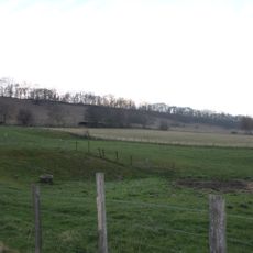
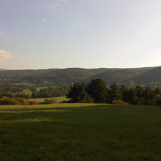
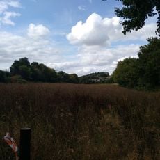
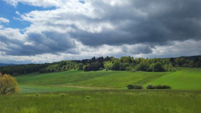
From the summit you can see dense forest-covered Harz mountains on one side and open lowland areas on the other. This contrast clearly shows where the mountain range ends and the plains begin.

The community of curious travelers

AroundUs brings together thousands of curated places, local tips, and hidden gems, enriched daily by 92,686 contributors worldwide.
Start exploring
Location
Elevation above the sea
304 m
GPS coordinates
51.89927,10.52344
Latest update
October 24, 2026 21:42
Reviews
Share your experience

No review yet

Discussions
Start a discussion...

No discussion yet

« Langenberg - Mountain summit in Bad Harzburg, Germany » is provided by Around Us (aroundus.com). Images and texts are derived from Wikimedia project under a Creative Commons license. You are allowed to copy, distribute, and modify copies of this page, under the conditions set by the license, as long as this note is clearly visible.

Discover hidden gems everywhere you go!

From secret cafés to breathtaking viewpoints, skip the crowded tourist spots and find places that match your style. Our app makes it easy with voice search, smart filtering, route optimization, and insider tips from travelers worldwide. Download now for the complete mobile experience.
Around Us App Screenshot
❝

A unique approach to discovering new places❞

— Le Figaro

❝

All the places worth exploring❞

— France Info

❝

A tailor-made excursion in just a few clicks❞

— 20 Minutes

Around Us
Travel Guide & Maps
Download

Send to your phone

QR Code
1

Open the camera app on your mobile.

2

Point at the QR code with your camera. A notification will appear.

3

Tap the notification to open the link.