
Nast-Berg, hill in Rhineland-Palatinate, Germany
Location: Rhineland-Palatinate
Elevation above the sea: 317.4 m
GPS coordinates: 50.42831,7.34474
Latest update: August 17, 2025 09:15

Andernach Geyser
3.1 km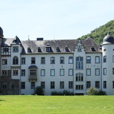
Namedy Castle
3.2 km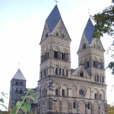
Liebfrauenkirche in Andernach
3.9 km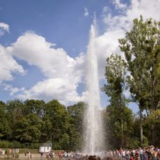
Geyser information centre
4.3 km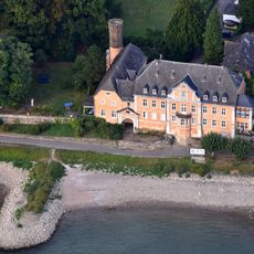
Schloss Marienburg
3.7 km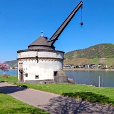
Alter Krahnen
3.7 km
Round Tower
3.9 km
Castrum Antunnacum
4 km
Ruins of Toenisstein monastery
4.1 km
Christuskirche (Andernach)
4.3 km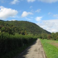
Hohe Buche
4.3 km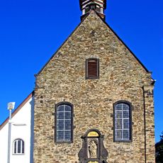
Hospitalkapelle St. Nikolaus und Elisabeth
4.4 km
Krayer Hof
1.9 km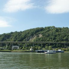
Krahnenbergbrücke
3.6 km
St. Michael (Andernach)
4.4 km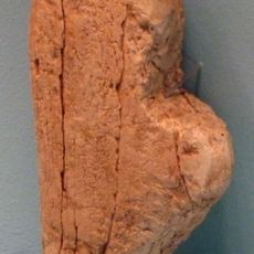
Venus of Andernach
4 km
Krahnenbergbahn
3.5 km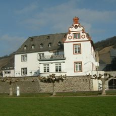
Zehnthof
3.8 km
Pulverturm, Andernach
4.4 km
St. Lubentius
3.5 km
Wallfahrtskirche zum Heiligen Kreuz
3.9 km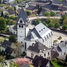
St. Laurentius
3.9 km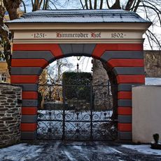
Himmeroder Hof
3.9 km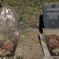
Jüdischer Friedhof
4.3 km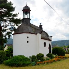
Oelbergkapelle
3.8 km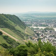
Langenbergskopf
4.2 km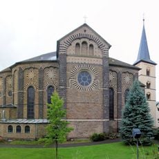
St. Arnulf
2 km
Namedyer Werth
3.3 kmReviews
Visited this place? Tap the stars to rate it and share your experience / photos with the community! Try now! You can cancel it anytime.
Discover hidden gems everywhere you go!
From secret cafés to breathtaking viewpoints, skip the crowded tourist spots and find places that match your style. Our app makes it easy with voice search, smart filtering, route optimization, and insider tips from travelers worldwide. Download now for the complete mobile experience.

A unique approach to discovering new places❞
— Le Figaro
All the places worth exploring❞
— France Info
A tailor-made excursion in just a few clicks❞
— 20 Minutes