Klüt, Mountain summit in Hamelin, Germany
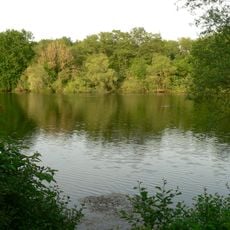
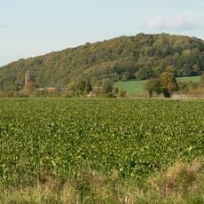
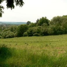
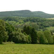
The Klüt is a wooded hill rising about 238 metres above sea level west of Hamelin's centre, above the Weser valley. Its summit plateau holds the Klütturm observation tower, two viewpoints over the old town and the Weserbergland, and remains of 18th-century fortifications. Below the summit lies the Finkenborn plateau with a pond, forest clearing and sports facilities.
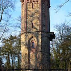
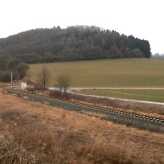
In the 18th century, fortifications were built on the Klüt: four separate forts stretched along the narrow ridge down toward the Weser. The Klütturm was erected in 1843 using rubble from earlier demolished fortifications and raised to its present height in 1887. From 1897 to 1980 a railway ran through the roughly 300-metre Klüttunnel beneath the hill, part of the Begatalbahn; its portals were walled up when the line closed in 1980.
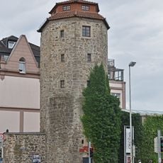
The Klütturm on the summit was built in 1843 from rubble of earlier demolished fortifications and raised to its present height in 1887; it is a listed monument. From the plateau below the tower, two viewpoints look over Hamelin's old town, the Weser and the middle Weserbergland.
The Klütturm observation tower on the summit is a listed monument; two viewpoints just below it look over Hamelin's old town, the Weser and the middle Weserbergland. The Finkenborn plateau below the summit has a youth hostel, sports ground, wildlife enclosure, playground and high ropes course. The 300-metre Klüttunnel, completed in 1897, runs through the foot of the hill; its portals were walled up when the railway closed in 1980.
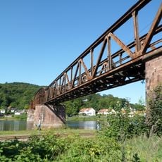
The 300-metre Klüttunnel, completed in 1897 for the Begatalbahn, ran beneath the foot of the Klüt and carried the line across the Weser toward Hameln. After the railway closed in 1980, both tunnel portals were walled up; the former Hameln-Klüt stop lay by the river bank.
The community of curious travelers
AroundUs brings together thousands of curated places, local tips, and hidden gems, enriched daily by 92,641 contributors worldwide.