Huder, Mountain summit in Bavaria, Germany.
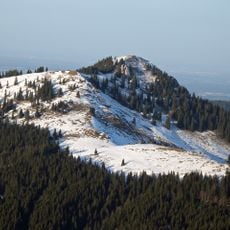
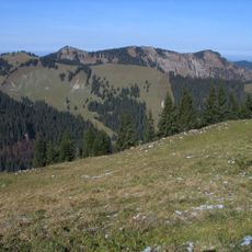
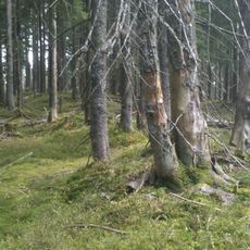
Huder is a wooded double summit in the Bavarian Pre-Alps. The western peak, 1,405 m high, lies on the municipal boundary between Bad Wiessee and Gaißach; the eastern peak, 1,382 m, lies entirely within Bad Wiessee. Both peaks are completely forested and offer no open view.
The Huder is one of the fully forested summits set in front of the Fockenstein, about 2 km from it, in the Bavarian Pre-Alps. Its two tops, the western one at 1,405 m on the boundary between Bad Wiessee and Gaißach and the eastern one at 1,382 m entirely in Bad Wiessee, carry only boundary markers. The easiest approach runs on forest roads to the saddle between Spitzeck and Huder, then pathless to the top; another option goes from the Aueralm over the Sattelkopf.
The name Huder is shared with the double summit's two tops, the western one at 1,405 m on the Bad Wiessee–Gaißach boundary and the eastern one at 1,382 m entirely in Bad Wiessee. On the highest point there are only boundary markers, and no marked route or cross marks the top; the mountain is rarely visited and offers no open view.
The easiest approach is via forest roads to the saddle between Spitzeck and Huder, then pathless to the summit. An alternative runs from the Aueralm over the Sattelkopf. The highest point is reachable only without a trail, and the summit holds nothing but boundary markers.
The Huder has two summits: the western one at 1,405 m lies on the boundary between Bad Wiessee and Gaißach, while the eastern one at 1,382 m lies entirely within Bad Wiessee. The highest point carries only boundary markers, and the easiest approach runs along forest roads to the saddle between Spitzeck and Huder, then pathlessly onward.
The community of curious travelers
AroundUs brings together thousands of curated places, local tips, and hidden gems, enriched daily by 93,361 contributors worldwide.