
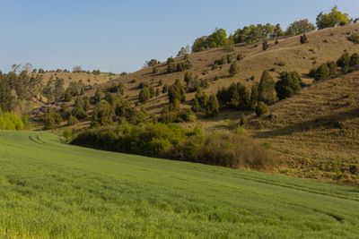
Schutzzone im Naturpark Altmühltal, protected landscape area in Bavaria, Germany
Location: Eichstätt
Location: Neuburg-Schrobenhausen
Location: Ingolstadt
Location: Weißenburg-Gunzenhausen
Location: Roth
Location: Neumarkt
Location: Regensburg
Location: Kelheim
Location: Donau-Ries
Inception: 1995
GPS coordinates: 48.91477,11.33283
Latest update: March 3, 2025 02:13
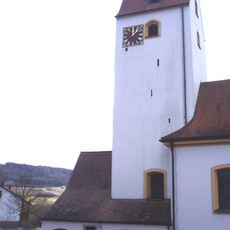
St. Erhard
2.8 km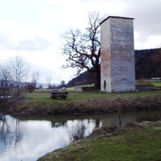
Burg Rieshofen
2.8 km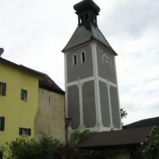
Burg Pfalzpaint
2.1 km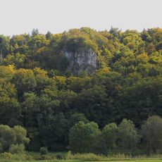
Burg Neuenstein (Walting)
2.3 km
Wehrkirche Gungolding
1.8 km
St. Johannes Evangelist
2.5 km
Gungoldinger Wacholderheide
1.8 km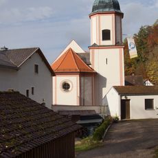
Katholische Filialkirche und Wallfahrtskirche Hl. Kreuz
2.9 km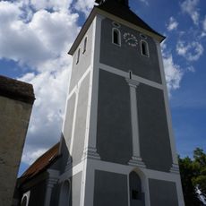
St. Andreas
2.1 km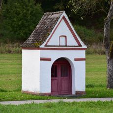
Wayside chapel Forstermühle
2.7 km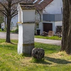
Kreuzweg zwischen Dorf und Kirche
1.6 km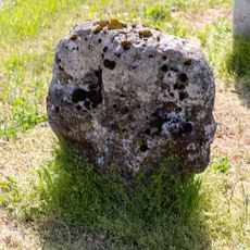
Steinkreuz in Gungolding
1.6 km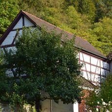
Stallstadel Mühlenstraße 16 in Kipfenberg
2.9 km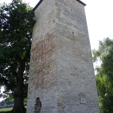
Burgruine Rieshofen
2.8 km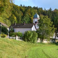
Pfarrhof Hl. Kreuz
2.9 km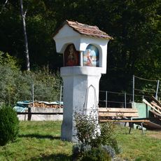
Wayside shrine
2.4 km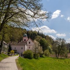
Cultural heritage D-1-7034-0174 in Kipfenberg
2.9 km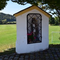
Wayside shrine
1.5 km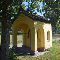
Feldkapelle
2.5 km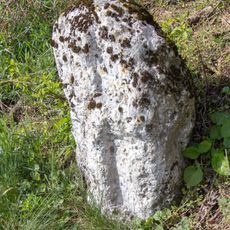
Kreuzstein und Bildstock bei Pfalzpaint
1.8 km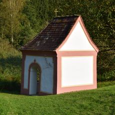
Field chapel St. Helena
2.4 km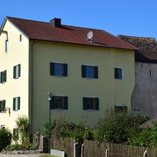
Building
2.1 km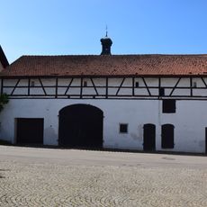
Barn
2.1 km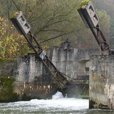
Altmühl-Stauwehr
2.2 km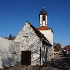
St. Leonhard
2.4 km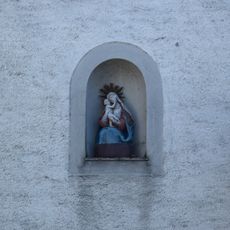
Hausmadonna
2.2 km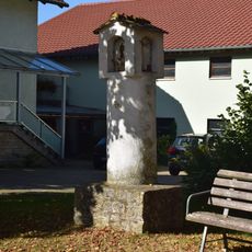
Wayside shrine
2.2 km
Kapelle Kirchweg 1 in Walting
2.1 kmVisited this place? Tap the stars to rate it and share your experience / photos with the community! Try now! You can cancel it anytime.
Discover hidden gems everywhere you go!
From secret cafés to breathtaking viewpoints, skip the crowded tourist spots and find places that match your style. Our app makes it easy with voice search, smart filtering, route optimization, and insider tips from travelers worldwide. Download now for the complete mobile experience.

A unique approach to discovering new places❞
— Le Figaro
All the places worth exploring❞
— France Info
A tailor-made excursion in just a few clicks❞
— 20 Minutes