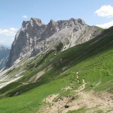
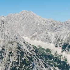
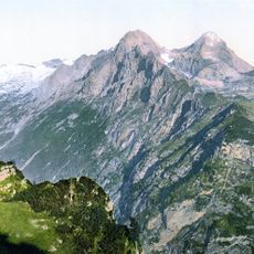
Wettersteinwand, Mountain summit in Wetterstein Range, Bavaria, Germany.
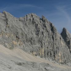
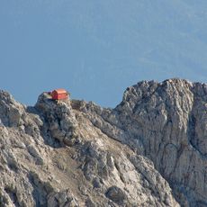
Wettersteinwand is the highest point of the Wettersteingrat ridge east of the Meilerhütte, reaching 2,484 m by Austrian survey and 2,482 m by German survey. The Bavarian-Tyrolean border runs along its crest. The name also covers the massif from the Mittagscharte to the Drei Scharten, including the Wettersteinkopf (2,429 m) and the Rotplattenspitze (2,399 m).
The mountain formed through geological processes during the creation of the Northern Alps millions of years ago. These same forces shaped the limestone structures that climbers encounter today.
The ridge carries the border between Bavaria and Tyrol, and most climbers reach the 2484 m summit while traversing the Wettersteingrat from the Meilerhütte. Other routes lead up from the Bergleintal over the Wettersteinkopf (2429 m) or through the cirque Im Flecken over the Rotplattenspitze (2399 m).
The best access is from Garmisch-Partenkirchen using marked trails, with several mountain huts available along the way. Visitors should come with sturdy footwear and proper gear, as the paths can be exposed and rocky.
The ridge carries the Bavaria–Tirol border, and the summit is the highest point of the Wettersteingrat east of the Meilerhütte. Many climbers reach it while traversing the whole ridge; other routes come up from the Bergleintal over the Wettersteinkopf or through the cirque "Im Flecken" over the Rotplattenspitze.
The community of curious travelers
AroundUs brings together thousands of curated places, local tips, and hidden gems, enriched daily by 94,070 contributors worldwide.