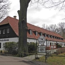
Frauenteich Moritzburg, Nature reserve in Radeburg and Moritzburg, Germany
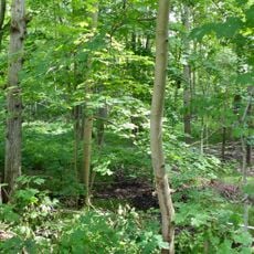
Frauenteich Moritzburg is a 202-hectare nature reserve split roughly equally between Moritzburg and Radeburg. Its centrepiece is the 67-hectare Frauenteich pond, fed by several ditches, including one draining the Mittelteich. The smaller Schösserteich, forests, meadows and fields lie within its boundaries, which follow marked hiking trails and the Staatsstraße 80.
The area was designated as a nature reserve by German authorities in 1954 to protect the natural environment. Regulations were expanded and strengthened by Dresden's government in 1999.
The name Frauenteich, "women's pond", is not explained in the sources; the reserve lies half in Moritzburg's Gemarkung around the castle and half in Radeburg's Berbisdorf and Bärwalde districts. The Flur Mauerwiese in the southeast and the Flur Folgen in the northeast are named parcels within the protected area. The ponds are fed by ditches, the largest draining the Mittelteich, and the Frauenteich's outflow runs into the adjacent Luisenteich.
A marked walking loop of about 7 kilometers starts at the Frauenteich intersection on the road between Berbisdorf and Moritzburg, with information panels along the way. The route takes you through different sections of the reserve.
The reserve's highest point is the Winkelberg, about 171 metres above sea level and twelve metres above the pond surface, in the northern Bärwalde section. The 202-hectare area also takes in the much smaller Schösserteich, whose one-hectare water surface drains into the Frauenteich by way of a ditch.
The community of curious travelers
AroundUs brings together thousands of curated places, local tips, and hidden gems, enriched daily by 94,501 contributors worldwide.