
Linder Höhe, hill in Germany
Location: Rhineland-Palatinate
GPS coordinates: 50.49406,6.93389
Latest update: March 31, 2025 13:50
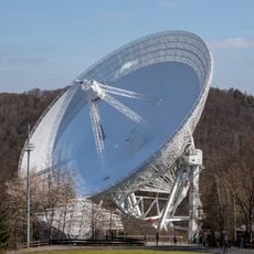
Effelsberg 100-m Radio Telescope
5 km
Are Castle
5.1 km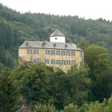
Burg Kreuzberg
3.4 km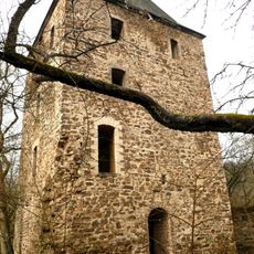
Wensburg
2.5 km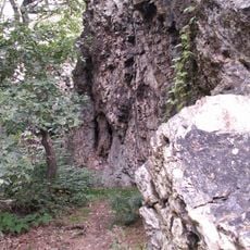
Teufelsley
4.5 km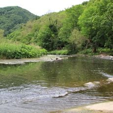
Ahrschleife bei Altenahr
4.6 km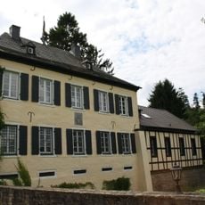
Schloss Vischel
5.8 km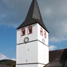
St. Gertrud, Schuld
6.1 km
Hochthürmerberg
4.2 km
Maria Verkündigung
4.8 km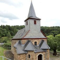
St. Martin
4.1 km
Burghaus Burgsahr
2.9 km
St.-Anna-Brücke
6 km
St. Andreas
2.8 km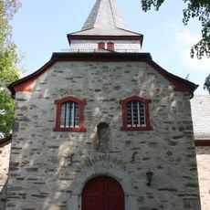
Alt St. Thomas
5.6 km
St. Antonius
3.3 km
Hand-weaving Museum
4.7 km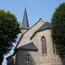
St. Stephan
5.5 km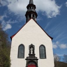
St. Maria
3.3 km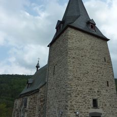
St. Cyriakus (Dümpelfeld)
5.7 km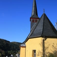
Katharinenkapelle Ahrbrück
2.9 km
Hotel Ewerts
6 km
Zur Schmerzhaften Muttergottes
5.8 km
Rochuskapelle Ahrbrück
3.9 km
St.-Maternus-Kapelle
4.2 km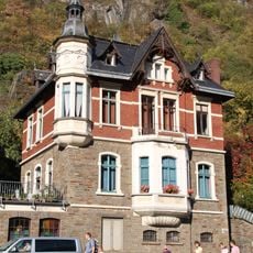
Villa Johanna
5 km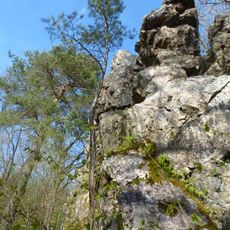
An der Teufelsley
4.6 km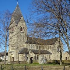
St. Thomas
5.6 kmReviews
Visited this place? Tap the stars to rate it and share your experience / photos with the community! Try now! You can cancel it anytime.
Discover hidden gems everywhere you go!
From secret cafés to breathtaking viewpoints, skip the crowded tourist spots and find places that match your style. Our app makes it easy with voice search, smart filtering, route optimization, and insider tips from travelers worldwide. Download now for the complete mobile experience.

A unique approach to discovering new places❞
— Le Figaro
All the places worth exploring❞
— France Info
A tailor-made excursion in just a few clicks❞
— 20 Minutes