
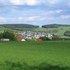
Rumpf, Berg in Hessen
Location: Rhineland-Palatinate
Location: Hesse
GPS coordinates: 50.67136,8.09757
Latest update: April 23, 2025 16:58
Fuchskaute
1.2 km
Stegskopf
6.2 km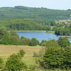
Heisterberger Weiher
5 km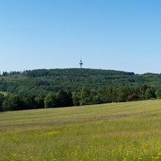
Höllberg
4.7 km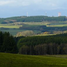
Salzburger Kopf
3 km
Breitenbachtalsperre
3.9 km
Bartenstein
4.8 km
Protestant Church
6.4 km
Rabenscheider Holz
2.3 km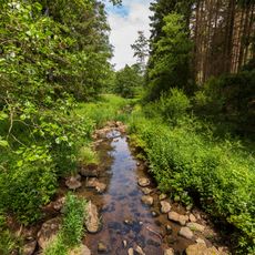
Aubachtal bei Rabenscheid
5.5 km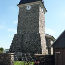
Evangelische Kirche
3.8 km
Naturschutzgebiet Bermershube bei Heisterberg
4.5 km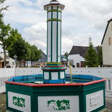
Laufbrunnen
3.7 km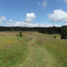
Fuchskaute
1.3 km
Alte Schule
6.5 km
Fachwerkhaus Kirchstraße 16
6.5 km
Portal und Kriegerdenkmal
5.9 km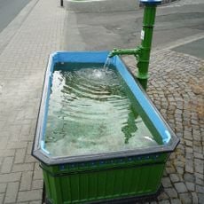
Laufbrunnen
6.5 km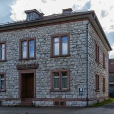
Ehemaliges Pfarrhaus
6.6 km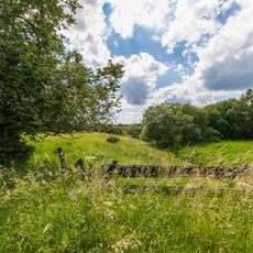
Rückerscheid mit Aubachtal
3.3 km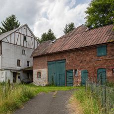
Fischbach-Mühle
4.2 km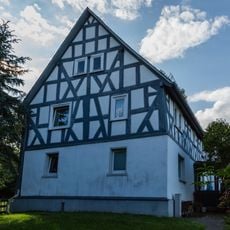
Fachwerkhaus Hüttenweg 9
6.6 km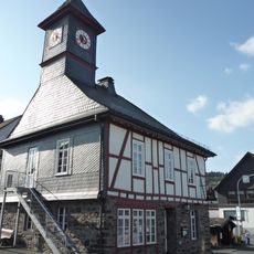
Gemeindehaus
5.7 km
Backhaus
6.6 km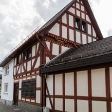
Fachwerkhaus Kreuzweg 2
6.6 km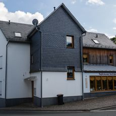
Kirchstraße 27A
6.5 km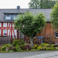
Kirchstraße 21
6.5 km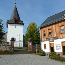
Gesamtanlage Kirchhof
6.4 kmReviews
Visited this place? Tap the stars to rate it and share your experience / photos with the community! Try now! You can cancel it anytime.
Discover hidden gems everywhere you go!
From secret cafés to breathtaking viewpoints, skip the crowded tourist spots and find places that match your style. Our app makes it easy with voice search, smart filtering, route optimization, and insider tips from travelers worldwide. Download now for the complete mobile experience.

A unique approach to discovering new places❞
— Le Figaro
All the places worth exploring❞
— France Info
A tailor-made excursion in just a few clicks❞
— 20 Minutes