
Jagsttal Langenburg - Mulfingen, protected area in the European Union defined by the habitats directive in Baden-Württemberg, Germany
Location: Mulfingen
Location: Blaufelden
Location: Gerabronn
Location: Langenburg
Location: Schrozberg
Location: Niederstetten
Inception: 2004
GPS coordinates: 49.36076,9.77067
Latest update: March 3, 2025 03:00

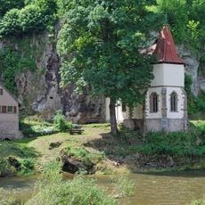
St. Wendel zum Stein
3.9 km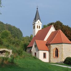
St. Annakapelle
2.9 km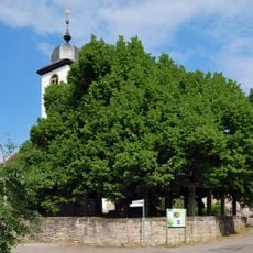
Dorflinde Hollenbach
2.9 km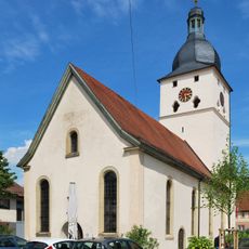
Dreifaltigkeitskirche Dörzbach
5.2 km
Burgrest Jagstberg
3.3 km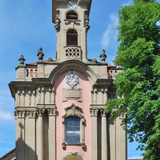
Dreifaltigkeitskirche Meßbach
5.6 km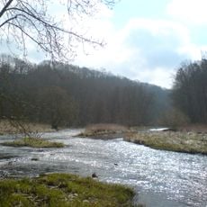
Jagst mit Seitentälern
994 m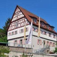
Altes Amtshaus
2 km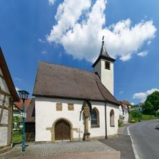
St. Bernhard
1.9 km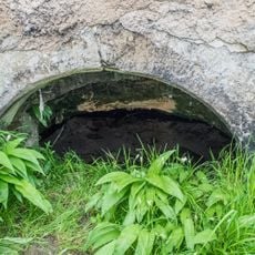
St. Wendel zum Stein
3.9 km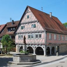
Rathaus
1.9 km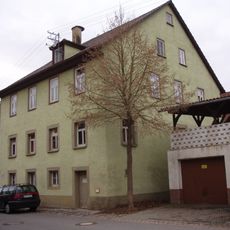
Synagogue Hohebach
2.7 km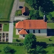
St. Peter und Paul
5.3 km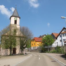
St. Leonhard
5.8 km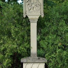
Dreifaltigkeitsbildstock
5.6 km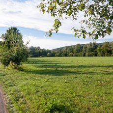
Riedhölzle und Jagstaue
1.6 km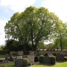
Friedhof Herbsthausen
6.5 km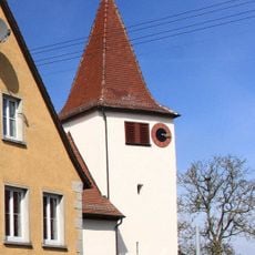
Evangelische Johanneskirche Herbsthausen
6.6 km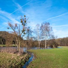
Jagsttal mit Nebentälern und angrenzenden Gebieten zwischen Kreisgrenze Schwäbisch Hall und Gemeindegrenze Krautheim/Schöntal
1.6 km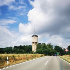
Wasserturm Herbsthausen
6.5 km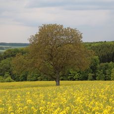
1 Walnussbaum im Gewann „Laibacherberg“
6.3 km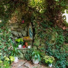
Mariengrotte
5.9 km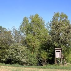
Brunnenstube bei den Igelstruter Wiesen Brühl
4.6 km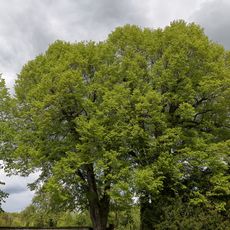
2 Winterlinden im Gewann „Am Friedhof“
6.5 km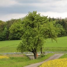
1 Birnbaum im Gewann „Wolfsäcker“
6.4 km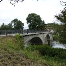
Jagstbrücke Dörzbach
5.3 km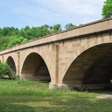
Jagstbrücke Hohebach
2.9 km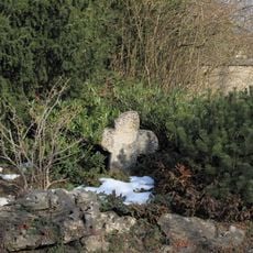
Sühnekreuz Bad Mergentheim X
6.5 kmReviews
Visited this place? Tap the stars to rate it and share your experience / photos with the community! Try now! You can cancel it anytime.
Discover hidden gems everywhere you go!
From secret cafés to breathtaking viewpoints, skip the crowded tourist spots and find places that match your style. Our app makes it easy with voice search, smart filtering, route optimization, and insider tips from travelers worldwide. Download now for the complete mobile experience.

A unique approach to discovering new places❞
— Le Figaro
All the places worth exploring❞
— France Info
A tailor-made excursion in just a few clicks❞
— 20 Minutes