Langenburg, municipality in Germany
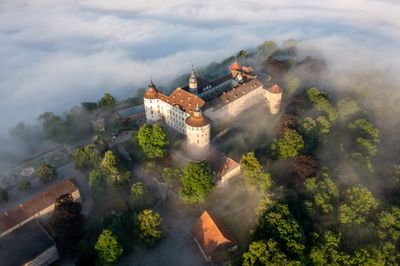
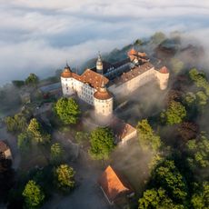
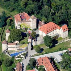
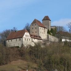
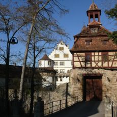
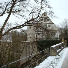
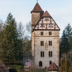
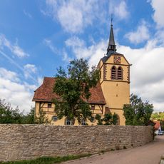
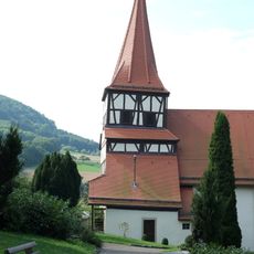
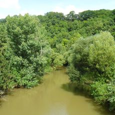
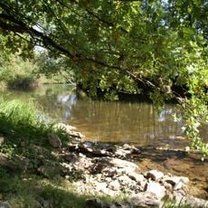
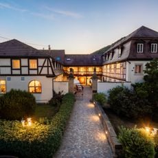
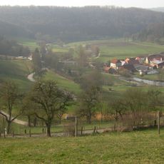
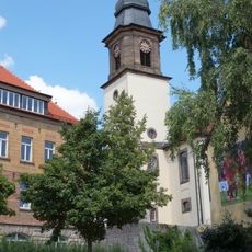
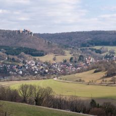
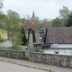
Langenburg is a small town in the Schwäbisch Hall district situated on a hill above the Jagst river. Schloss Langenburg, with its Renaissance walls surrounded by a large, well-maintained baroque garden, stands at the center, while narrow streets lined with stone houses, small churches, and a motor vehicle museum with about seventy historic cars shape the rest of the layout.
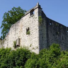
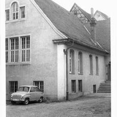
Langenburg was first documented in 1226 and later developed as the seat of the Hohenlohe family, particularly from 1568 onward. The castle was gradually transformed from a fortress into a Renaissance residence and is now part of the Schwäbisch Hall district.
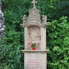
Langenburg takes its name from the medieval fortress that later became the castle at its heart. The narrow streets and traditional facades reflect how people lived in earlier times, while small cafes and shops bring the modern rhythm into this old setting.
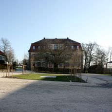
The town is easy to explore on foot since everything is compact and the streets are pedestrian-friendly. For visiting surrounding villages, parks, and museums, local buses or a car are recommended, with free parking available at Ludwigsruhe Park and the outdoor swimming pool.
The motor vehicle museum displays about seventy historic cars, from racing vehicles to classic models, making it an unusual collection for a town of this size. The local specialty Wibele, small vanilla cookies made from biscuit dough, can be tasted in local cafes and shops and serves as a sweet reminder of a visit.
The community of curious travelers
AroundUs brings together thousands of curated places, local tips, and hidden gems, enriched daily by 60,000 contributors worldwide.