Enable Location

We need your location to show you interesting places around you

Discover nearby places

Find interesting locations and hidden gems around you

Precise directions

Get accurate directions and distances to places

Your location is never shared with other users. It's only used when you tap the location button.

Gerabronn

Log in to your account

Start exploring — it's free

Trusted by 63,623 travelers worldwide

Continue with Google
Continue with Apple
or

We will send you a code to connect

By continuing, you accept our Terms and Conditions and our Privacy Policy

Check your inbox

We've sent a pincode in your inbox. Please enter the code below.

Discussion Reviews 1 Photos
19.6k Popularity

Gerabronn, town in the District of Schwäbisch Hall, Baden-Württemberg, Germany

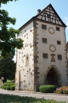
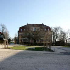
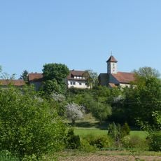
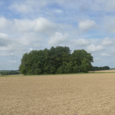
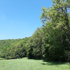
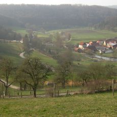
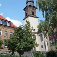
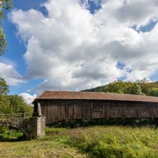
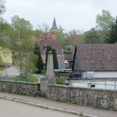
Gerabronn is a town in Baden-Württemberg situated on a hill in the Hohenlohe plain, surrounded by fields and forests. The town spans elevations from roughly 300 to nearly 500 meters and displays a mixed urban landscape with historic buildings alongside modern structures.

Gerabronn was likely founded in the 10th century, with first documented records from 1226 when it fell under the Bishop of Würzburg's control. The town gained official city status in 1886, after centuries under Franconian rule before becoming part of Württemberg in 1806.

The name Gerabronn reflects the region's early settlement history and local identity. Today, you can observe how residents gather in the streets and squares, especially during market days and regular community events that shape daily social life.

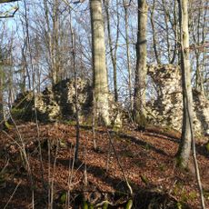
The town is easily accessible by car via the Bundesstraße 290 and nearby A6 highway connection. For pedestrians and cyclists, the surrounding area offers many marked trails through the hilly landscape with woods and valleys, making exploration straightforward.

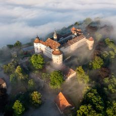
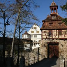
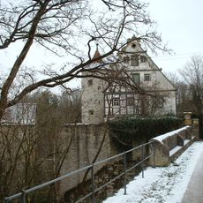
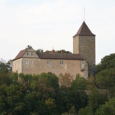
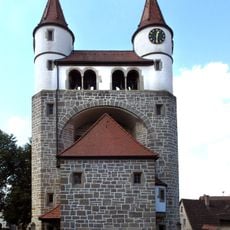
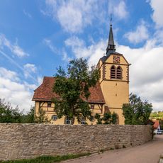
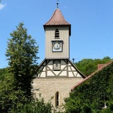
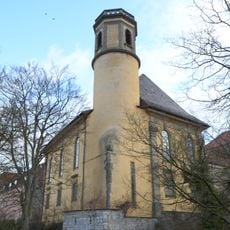
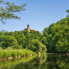
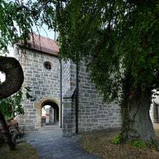
Schloss Morstein sits on a small hill near the Jagst river and dates to the Renaissance period, but remains privately owned by the von Crailsheim family and can only be viewed from outside. Another distinctive feature is the Wendelinskapelle, originally known as a spring sanctuary that was later adapted to shelter shepherds.

The community of curious travelers

AroundUs brings together thousands of curated places, local tips, and hidden gems, enriched daily by 60,000 contributors worldwide.

Start exploring
Location
Gerabronn VVG
Elevation above the sea
460 m
GPS coordinates
49.24952,9.92081
Latest update
February 16, 2026 22:20
Reviews
Share your experience

No review yet

Discussions
Start a discussion...

No discussion yet

« Gerabronn - town in the District of Schwäbisch Hall, Baden-Württemberg, Germany » is provided by Around Us (aroundus.com). Images and texts are derived from Wikimedia project under a Creative Commons license. You are allowed to copy, distribute, and modify copies of this page, under the conditions set by the license, as long as this note is clearly visible.

Discover hidden gems everywhere you go!

From secret cafés to breathtaking viewpoints, skip the crowded tourist spots and find places that match your style. Our app makes it easy with voice search, smart filtering, route optimization, and insider tips from travelers worldwide. Download now for the complete mobile experience.

Around Us App Screenshot

A unique approach to discovering new places

Le Figaro

All the places worth exploring

France Info

A tailor-made excursion in just a few clicks

20 Minutes

Around Us
Travel Guide & Maps
Download

Send to your phone

QR Code
1

Open the camera app on your mobile.

2

Point at the QR code with your camera. A notification will appear.

3

Tap the notification to open the link.