
Fürstenried, human settlement in Germany
Location: Thalkirchen-Obersendling-Forstenried-Fürstenried-Solln
Location: Munich
Website: http://muenchen.de/stadtteile/fuerstenried.html
GPS coordinates: 48.09222,11.48722
Latest update: March 5, 2025 19:41
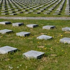
Munich Forest Cemetery
1.3 km
Fürstenried Palace
1.1 km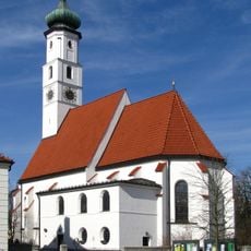
Holy Cross
940 m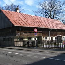
Derzbachhof
958 m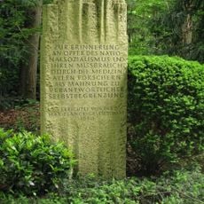
Memorial to the victims of National Socialist euthanasia crimes
1.2 km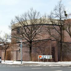
St. Matthias
570 m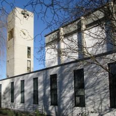
St. Karl Borromäus
395 m
Waldfriedhofstraße
1.3 km
Forstenried village center
1 km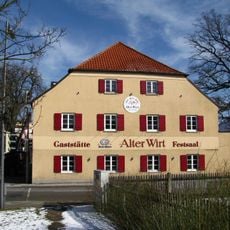
Gasthof Alter Wirt in Forstenried
1 km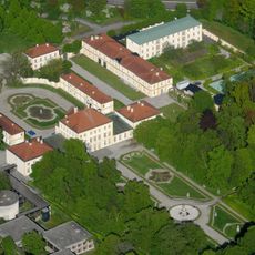
Fürstenried Palace
362 m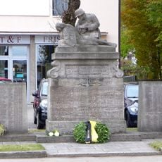
Kriegerdenkmal
1 km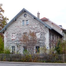
Altes Schulhaus Forstenried
941 m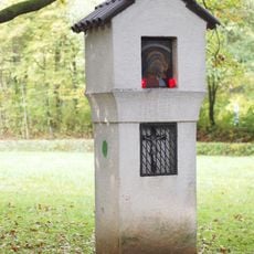
Pestsäule Fürstenried
242 m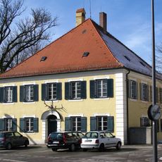
Forsthaus Forstenried
958 m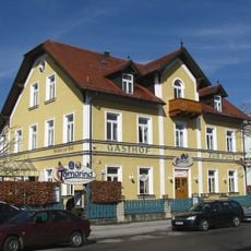
Gasthof zur Post
1.1 km
Kath. Pfarrkirche Wiederkunft des Herrn
966 m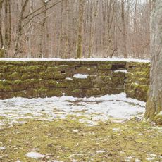
Cemetery Wall of War Gravesite Hadern
1 km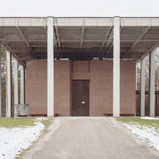
Leichenhalle Zöllerstraße 21 in München
864 m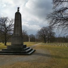
Italian military cemetery
618 m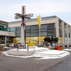
Kreuz Allgäuer Straße 38; Allgäuer Straße 40; Königswieser Straße 10; Königswieser Straße 12; Königswieser Straße 14 in München
982 m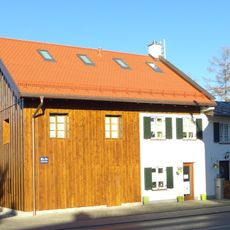
Ländliches Wohnhaus
961 m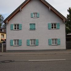
Forstenrieder Allee 191
1.1 km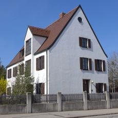
Pfarrhaus Forstenried
948 m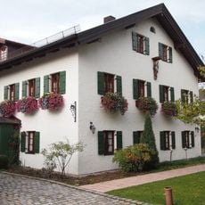
Forstenrieder Allee 226
1.3 km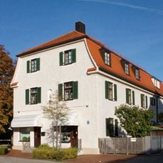
Forstenrieder Allee 193
1.1 km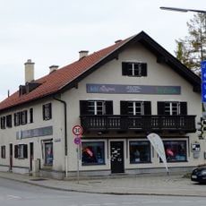
Forstenrieder Allee 186
1 km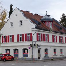
Liesl-Karlstadt-Straße 1
1 kmReviews
Visited this place? Tap the stars to rate it and share your experience / photos with the community! Try now! You can cancel it anytime.
Discover hidden gems everywhere you go!
From secret cafés to breathtaking viewpoints, skip the crowded tourist spots and find places that match your style. Our app makes it easy with voice search, smart filtering, route optimization, and insider tips from travelers worldwide. Download now for the complete mobile experience.

A unique approach to discovering new places❞
— Le Figaro
All the places worth exploring❞
— France Info
A tailor-made excursion in just a few clicks❞
— 20 Minutes