Enable Location

We need your location to show you interesting places around you

Discover nearby places

Find interesting locations and hidden gems around you

Precise directions

Get accurate directions and distances to places

Your location is never shared with other users. It's only used when you tap the location button.

Log in to your account

Start exploring — it's free

Trusted by 61,652 travelers worldwide

Continue with Google
Continue with Apple
or

We will send you a code to connect

By continuing, you accept our Terms and Conditions and our Privacy Policy

Check your inbox

We've sent a pincode in your inbox. Please enter the code below.

Thalkirchen-Obersendling-Forstenried-Fürstenried-Solln

Thalkirchen-Obersendling-Forstenried-Fürstenried-Solln, Administrative district in southern Munich, Germany.

Description

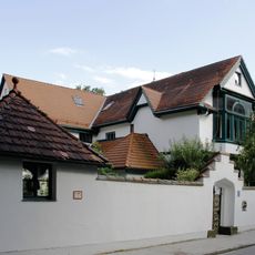
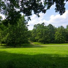
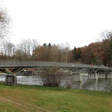
Thalkirchen-Obersendling-Forstenried-Fürstenried-Solln is the nineteenth borough of Munich, located in the southern part of the city along the western bank of the Isar River. It contains residential neighborhoods, industrial areas, and broad green spaces distributed throughout the district.

History

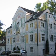
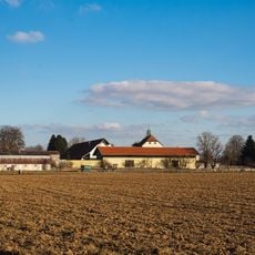
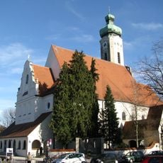
The area developed from several historically separate places, including the former farming village of Thalkirchen and the industrial zone of Obersendling. These communities merged into a single administrative district in 1992.

Culture

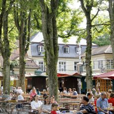
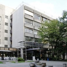
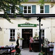
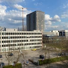
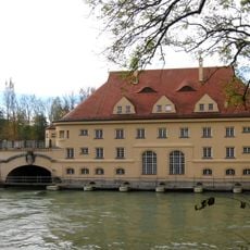
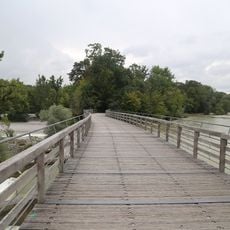
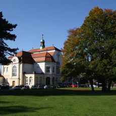
The district contains the Munich Zoo and recreational spaces along the Isar that locals use regularly. The Sparkassenhochhaus building stands as a recognized architectural landmark in the area.

Practical

Visitors can reach the district easily using the U3 subway line and S-Bahn stations at München Siemenswerke and München Solln. Good public transportation connections make it simple to explore different parts of the area.

Did you know?

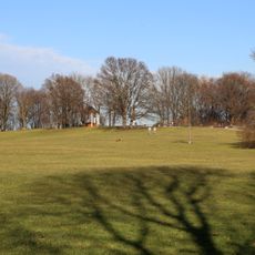
The district contains Munich's highest point at 579 meters elevation, located at Klostergut Warnberg. This elevated location offers views that differ noticeably from the rest of the city.

Location
Inception
1992
Shares border with
Untergiesing-Harlaching, Sendling, Sendling-Westpark, Hadern
GPS coordinates
48.08890,11.51940
Latest update
December 7, 2025 19:31

AroundUs brings together thousands of curated places, local tips, and hidden gems, enriched daily by 60,000 contributors worldwide. Discover all places nearby (Munich).

Administrative divisions
« Thalkirchen-Obersendling-Forstenried-Fürstenried-Solln - Administrative district in southern Munich, Germany » is provided by Around Us (aroundus.com). Images and texts are derived from Wikimedia project under a Creative Commons license. You are allowed to copy, distribute, and modify copies of this page, under the conditions set by the license, as long as this note is clearly visible.

Discover hidden gems everywhere you go!

From secret cafés to breathtaking viewpoints, skip the crowded tourist spots and find places that match your style. Our app makes it easy with voice search, smart filtering, route optimization, and insider tips from travelers worldwide. Download now for the complete mobile experience.

Around Us App Screenshot

A unique approach to discovering new places

Le Figaro

All the places worth exploring

France Info

A tailor-made excursion in just a few clicks

20 Minutes

Around Us
Travel Guide & Maps
Download

Send to your phone

QR Code
1

Open the camera app on your mobile.

2

Point at the QR code with your camera. A notification will appear.

3

Tap the notification to open the link.