
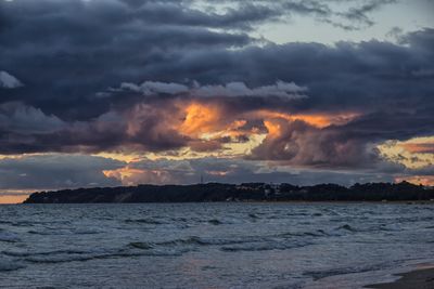
Greifswalder Boddenrandschwelle und Teile der Pommerschen Bucht
Greifswalder Boddenrandschwelle und Teile der Pommerschen Bucht, protected area in the European Union defined by the habitats directive in Mecklenburg-Vorpommern, Germany
Location: Vorpommern-Rügen District
Inception: 2007
GPS coordinates: 54.23952,13.96191
Latest update: March 18, 2025 12:18
Peenemünde Army Research Center
14.5 km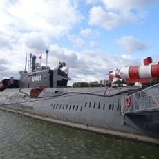
U-461
17.3 km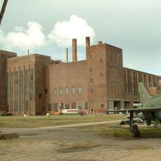
The Peenemünde Historical Technical Museum
16.9 km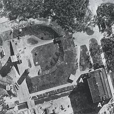
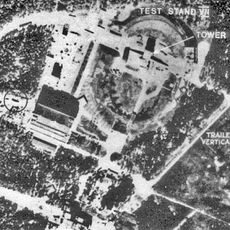
Test Stand VII
13.1 km
Buskam
17.9 km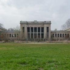
Kulturhaus Zinnowitz
18.1 km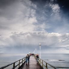
Zinnowitz pier
17.7 km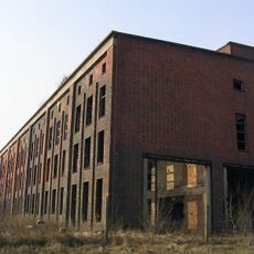
Sauerstoffwerk Peenemünde
16.7 km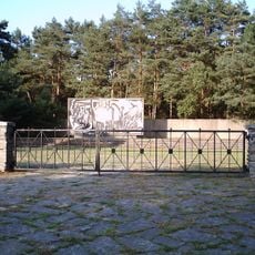
Mahn- und Gedenkstätte Karlshagen
16.8 km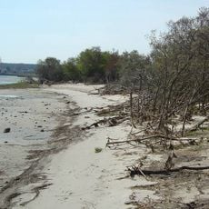
Peenemünder Haken, Struck und Ruden - Gebietsteil A
16.4 km
Lotsenturm Thiessow
16.1 km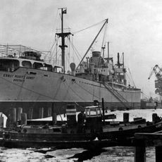
Ernst Moritz Arndt
2.2 km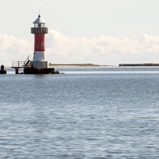
Peenemünde lighthouse
13.5 km
Mönchgut: Südperd
16.2 km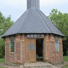
Memorial chapel
16.7 km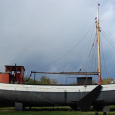
Luise
18.1 km
Mönchguter Heimatmuseum
18.3 km
Museum yard Göhren
18.3 km
Fritz-Worm-Stein
17.4 km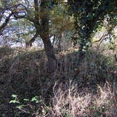
Schanze bei Klein Zicker
18.1 km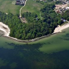
Lotsenberg
16.1 km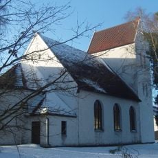
Karlshagen church
16.3 km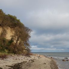
Mönchgut: Lobber Ort
17.4 km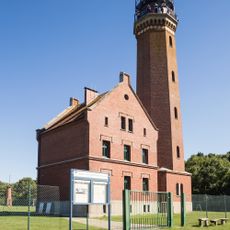
Greifswalder Oie Lighthouse
2.7 km
Großer Strand
17.4 km
Greifswalder Oie
3.8 km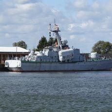
Hans Beimler
17.3 km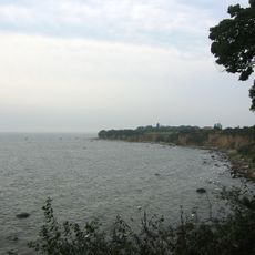
Greifswalder Oie
3.2 kmVisited this place? Tap the stars to rate it and share your experience / photos with the community! Try now! You can cancel it anytime.
Discover hidden gems everywhere you go!
From secret cafés to breathtaking viewpoints, skip the crowded tourist spots and find places that match your style. Our app makes it easy with voice search, smart filtering, route optimization, and insider tips from travelers worldwide. Download now for the complete mobile experience.

A unique approach to discovering new places❞
— Le Figaro
All the places worth exploring❞
— France Info
A tailor-made excursion in just a few clicks❞
— 20 Minutes