
Geithe, protected area in the European Union defined by the habitats directive in Nordrhein-Westfalen, Germany
Location: Hamm
Inception: 1999
GPS coordinates: 51.67915,7.91372
Latest update: March 30, 2025 16:19
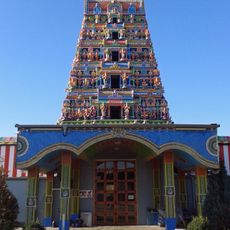
Sri-Kamadchi-Ampal-Tempel
2.7 km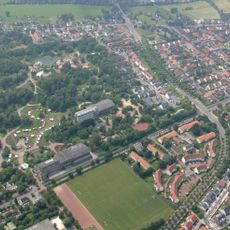
Maximilianpark Hamm
2.2 km
Castle of Heessen
5 km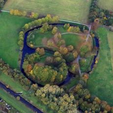
Burg Mark
4.6 km
Glaselefant
2.3 km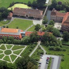
Schloß Oberwerries
3.2 km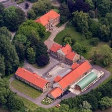
Haus Uentrop
3.1 km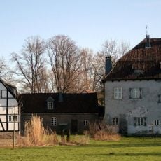
Burg Vellinghausen
5.5 km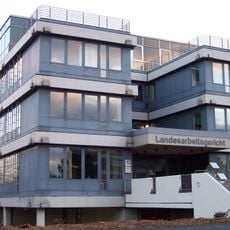
Landesarbeitsgericht Hamm
4.8 km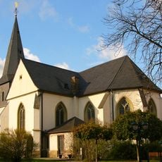
Evangelische Pfarrkirche St. Pankratius
4.3 km
Haus Hohenover
4.1 km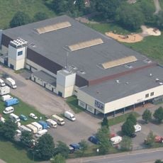
Helinet Eissportarena
2.1 km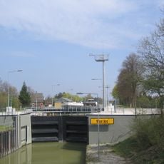
Schleuse Werries
3.7 km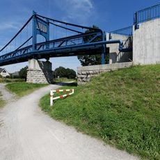
Schulweg-Steg
3.5 km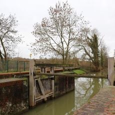
Lippeschleuse Heessen
5 km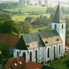
St. Othmar (Dinker)
5.3 km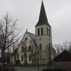
St. Lambertus
3.4 km
St. Stephanus
5.5 km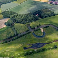
Lippeaue zwischen Schloss „Oberwerries und Dolberg“
3.1 km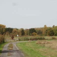
Oberwerrieser Mersch
2.7 km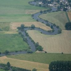
Schmehauser Mersch
4.6 km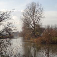
Mühlenlaar
3.3 km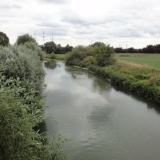
Haarener Lippeaue
2.8 km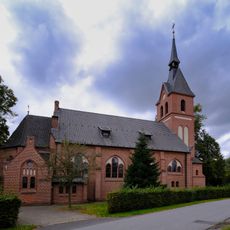
St. Antonius von Padua
203 m
Schlagmersch
4.4 km
Kurhaus Bad Hamm
4.9 km
LSG-Noerdliche Lippeaue
3.9 km
LSG-Westhusen
4.4 kmReviews
Visited this place? Tap the stars to rate it and share your experience / photos with the community! Try now! You can cancel it anytime.
Discover hidden gems everywhere you go!
From secret cafés to breathtaking viewpoints, skip the crowded tourist spots and find places that match your style. Our app makes it easy with voice search, smart filtering, route optimization, and insider tips from travelers worldwide. Download now for the complete mobile experience.

A unique approach to discovering new places❞
— Le Figaro
All the places worth exploring❞
— France Info
A tailor-made excursion in just a few clicks❞
— 20 Minutes