
Engerser Feld, special protection areas in Rheinland-Pfalz, Germany
Location: Neuwied
Inception: 2010
GPS coordinates: 50.42246,7.51621
Latest update: March 30, 2025 20:32
Caesar's Rhine bridges
3.2 km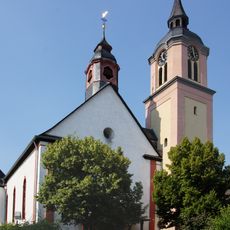
St. Georg
679 m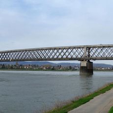
Urmitzer Eisenbahnbrücke
778 m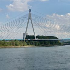
Raiffeisenbrücke
4.1 km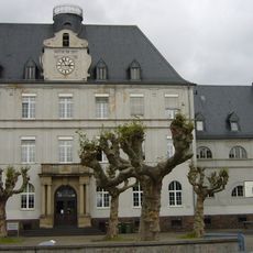
Rhein-Wied-Gymnasium Neuwied
4.1 km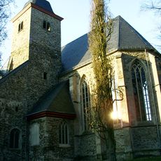
Abtei Rommersdorf
4.1 km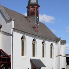
Alte Kapelle
4.2 km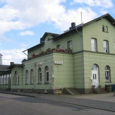
Engers station
2.2 km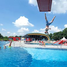
Deichwelle Allwetterbad
4 km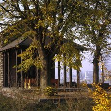
Kapelle Am Guten Mann
2.9 km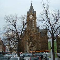
Marktkirche (Neuwied)
4.1 km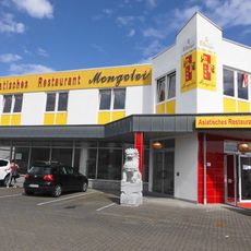
Mongolei
2.6 km
Tauris
3.2 km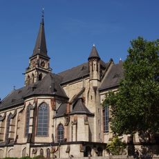
St. Matthias
3.8 km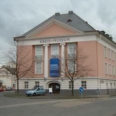
Roentgen-Museum
3.2 km
Städtische Badeanstalt Neuwied
4 km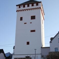
Weißer Turm in Weißenthurm
4.1 km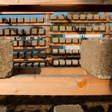
Deutsches Bimsmuseum
2.7 km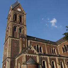
St. Martin
2.1 km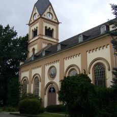
Evangelische Kirche
3.8 km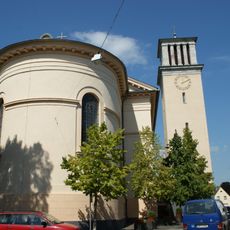
St. Peter und Paul
4.1 km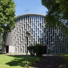
Heilig-Kreuz-Kirche (Neuwied)
2.6 km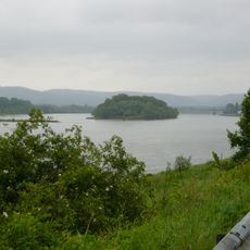
Urmitzer Werth
687 m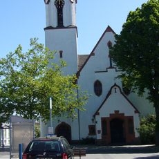
Mariä Himmelfahrt
3.9 km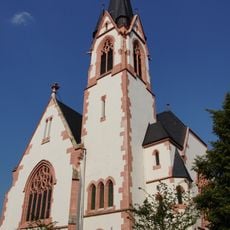
Evangelische Kirche (Engers)
2.4 km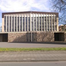
Our Lady Church
3.6 km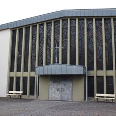
Heilige Familie (Block)
1.7 km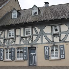
Hauptstraße 111
3.5 kmReviews
Visited this place? Tap the stars to rate it and share your experience / photos with the community! Try now! You can cancel it anytime.
Discover hidden gems everywhere you go!
From secret cafés to breathtaking viewpoints, skip the crowded tourist spots and find places that match your style. Our app makes it easy with voice search, smart filtering, route optimization, and insider tips from travelers worldwide. Download now for the complete mobile experience.

A unique approach to discovering new places❞
— Le Figaro
All the places worth exploring❞
— France Info
A tailor-made excursion in just a few clicks❞
— 20 Minutes