
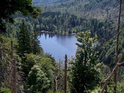
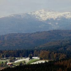
Nationalpark Bayerischer Wald, special protection areas in Bayern, Germany
Location: Regen
Location: Freyung-Grafenau
Inception: 1998
GPS coordinates: 48.99191,13.48012
Latest update: March 4, 2025 00:22
Großer Rachel
6.8 km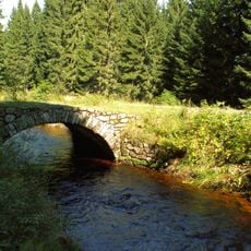
Vchynice-Tetov Canal
6.6 km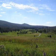
Březník
2.3 km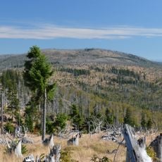
Plattenhausenriegel
3.8 km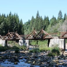
Hradlový most
5.6 km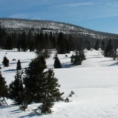
Moorberg
4.6 km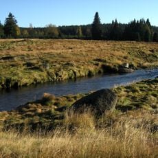
Modravské slatě
3.8 km
Waldschmidthaus
7.1 km
Rokytská slať
5.7 km
Klostermannova chata
3.9 km
Cikánská slať
1.6 km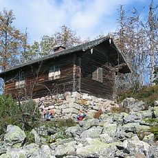
Steinfleckberg
5.3 km
Pokoj v krajině
3.9 km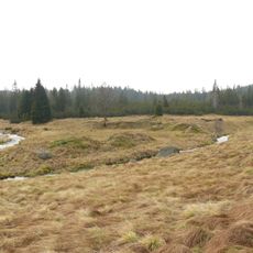
Roklanská slať
3.8 km
Reschbachklause
7 km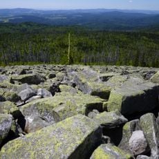
Blockmeer am Lusen
6.2 km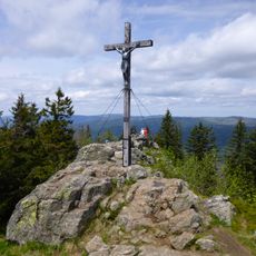
Gipfelklippen des Großen Rachel
6.8 km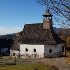
St. Maria im Walde
7.3 km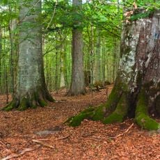
Nationalpark Bayerischer Wald
6.9 km
Sumava Biosphere Reserve
6.9 km
Sawmil
3.7 km
Most Nové březnické cesty přes Luzenský potok
2.6 km
Dům če. 2
515 m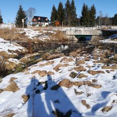
Most přes Filipohuťský potok u Filipovy Huti
4.9 km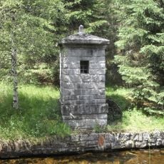
Vodočet na Vchynicko-tetovském kanále
5.8 km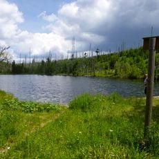
Reschbachtrift, Bestandteil des Wolfsteiner Triftkomplexes
6.9 km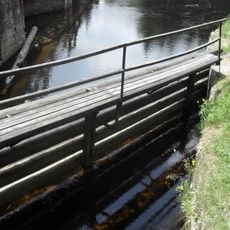
Lávka na vstupním brlení Vchynicko-tetovského kanálu
5.7 km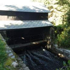
Vtokové stavidlo Vchynicko-tetovského kanálu
5.7 kmVisited this place? Tap the stars to rate it and share your experience / photos with the community! Try now! You can cancel it anytime.
Discover hidden gems everywhere you go!
From secret cafés to breathtaking viewpoints, skip the crowded tourist spots and find places that match your style. Our app makes it easy with voice search, smart filtering, route optimization, and insider tips from travelers worldwide. Download now for the complete mobile experience.

A unique approach to discovering new places❞
— Le Figaro
All the places worth exploring❞
— France Info
A tailor-made excursion in just a few clicks❞
— 20 Minutes