
Schmerzker Busch, protected area in Germany
Location: Brandenburg an der Havel
Inception: October 19, 1972
GPS coordinates: 52.37914,12.57532
Latest update: March 30, 2025 18:49

Brandenburg Euthanasia Centre
3.9 km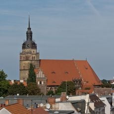
St. Katharinen
3.4 km
Sankt Johanniskloster
3.9 km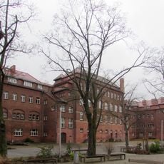
Von Saldern-Gymnasium
3.2 km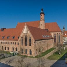
Kloster St. Pauli Brandenburg
3.1 km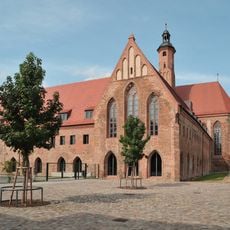
Archäologisches Landesmuseum Brandenburg
3.1 km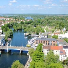
Jahrtausendbrücke
3.8 km
Nikolaikirche Brandenburg
3.9 km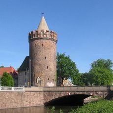
Steintorturm (Brandenburg)
3.2 km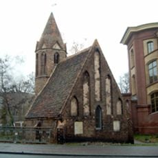
St. Jakob (Brandenburg an der Havel)
3 km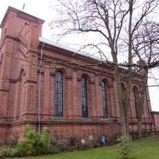
Holy Trinity church Brandenburg
3.1 km
Gottfried-Krüger-Brücke
3.7 km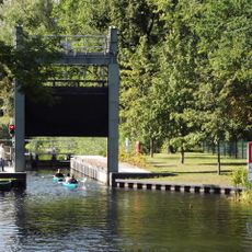
Stadtschleuse Brandenburg
3.3 km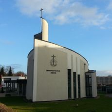
New Apostolic church Brandenburg
3.5 km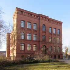
Theodor-Fontane-Grundschule
3.1 km
Jüdisches Gemeindehaus (Brandenburg an der Havel)
3.6 km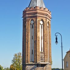
Neustädtischer Mühlentorturm
3.6 km
Steintorbrücke
3.2 km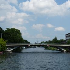
Luckenberger Brücke
3.6 km
Stiftung Wredow’sche Zeichenschule
3 km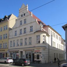
Carpzowsches Haus
3.3 km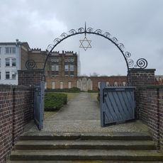
Jüdischer Friedhof Geschwister-Scholl-Straße
2.8 km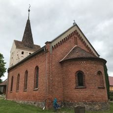
Village church Göttin, Brandenburg
2.1 km
Frederic-Joliot-Curie-Schule
3.6 km
Neustädtische Gelehrtenschule
3.4 km
Church Schmerzke
1.4 km
Wiemannwerft Brandenburg
3.8 km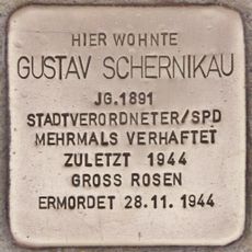
Stolperstein for Gustav Schernikau
3.4 kmReviews
Visited this place? Tap the stars to rate it and share your experience / photos with the community! Try now! You can cancel it anytime.
Discover hidden gems everywhere you go!
From secret cafés to breathtaking viewpoints, skip the crowded tourist spots and find places that match your style. Our app makes it easy with voice search, smart filtering, route optimization, and insider tips from travelers worldwide. Download now for the complete mobile experience.

A unique approach to discovering new places❞
— Le Figaro
All the places worth exploring❞
— France Info
A tailor-made excursion in just a few clicks❞
— 20 Minutes